
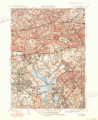
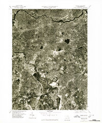
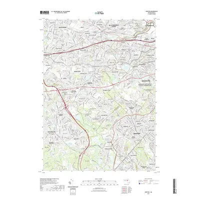
1954 Map of Newton
USGS Topo · Published 1954About this map
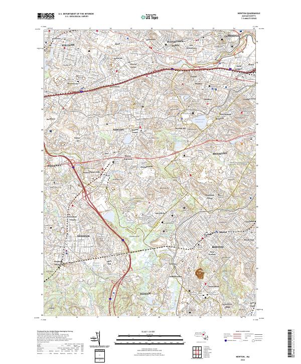
The Charles River dictates the landscape of this mid-century survey, winding through a dense network of suburban villages and early industrial centers. Established rail corridors like the Boston and Albany RR and the New York New Haven and Hartford RR link the residential heart of Newton and Waltham with the urban core of Boston and Brighton. Large institutional grounds and recreational spaces, including the Perkins Institution for Blind, Harvard Stadium, and the Oakley Country Club, stand out as significant landmarks amidst the expanding postwar residential developments. In the southern portion of the map, the terrain becomes more varied around Wilson Mtn and Bellevue Hill, where the Mother Brook channel connects the Charles River to the drainage of Dedham. This document captures the transition of the region into a fully integrated metropolitan area before the peak of suburban sprawl.
Find a feature on this map
83 named features on this map. Tap any name to fly to it.
Don’t see what you’re looking for? This feature index may not catch every label — zoom into the map to look around manually.
Map Details
Editions of this 1954 Newton Map
This is the sole edition of this map. No revisions or reprints were ever made.
Historical Maps of Boston Through Time
11 maps found
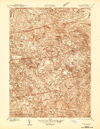
1944 Newton
Middlesex County, MA
1946 Newton
Middlesex County, MA
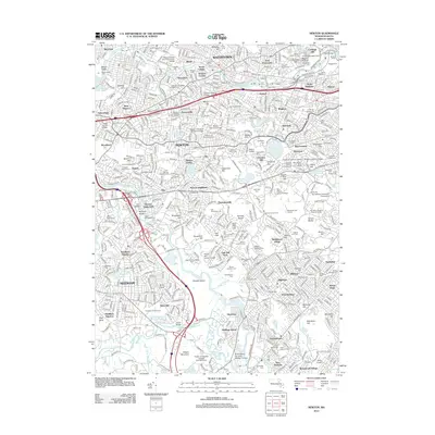
1954 Newton
Middlesex County, MA
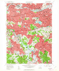
1956 Newton
Middlesex County, MA
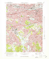
1970 Newton
Middlesex County, MA
1977 Newton
Middlesex County, MA
2012 Newton
Middlesex County, MA
2015 Newton
Middlesex County, MA
2018 Newton
Middlesex County, MA
2021 Newton
Middlesex County, MA
2024 Newton
Middlesex County, MA