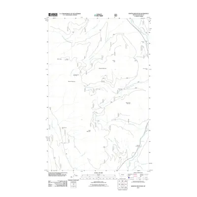
2011 Map of Newton Mountain
USGS Topo · Published 2011About this map
Keystone Mountain and Newton Mountain dominate this corner of Lincoln County, defined by a series of high ridges and deep drainages. The landscape is marked by a history of extraction and monitoring, with the Keystone Mine, Morning Glory Mine, and Black Diamond Mine scattered across the slopes. A network of specialized equipment, including the Friday Hill Snow Gage and Fourth of July Snow Gage, suggests the importance of water resource management and winter snowpack tracking in these mountains.
Find a feature on this map
32 named features on this map. Tap any name to fly to it.
Don’t see what you’re looking for? This feature index may not catch every label — zoom into the map to look around manually.
Map Details
Editions of this 2011 Newton Mountain Map
This is the sole edition of this map. No revisions or reprints were ever made.
Other maps of this area

1911 · Priest Lake
USGS Topo · 1:250,000

1913 · Priest Lake
USGS Topo · 1:250,000

1957 · Kalispell
USGS Topo · 1:250,000

1958 · Sandpoint
USGS Topo · 1:250,000

1960 · Kalispell
USGS Topo · 1:250,000

1961 · Kalispell
USGS Topo · 1:250,000

1963 · Sandpoint
USGS Topo · 1:250,000

1963 · Sylvanite
USGS Topo · 1:24,000

1963 · Mount Baldy
USGS Topo · 1:24,000

1963 · Pulpit Mountain
USGS Topo · 1:24,000