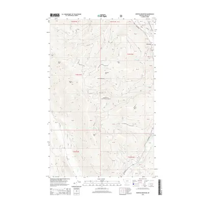
2014 Map of Newton Mountain
USGS Topo · Published 2014About this map
The Yaak River carves a deep valley through the northern reaches of the Kootenai National Forest in this 2014 survey. This portion of the Purcell Mountains is defined by high peaks and sharp drainages, anchored by the settlement of Sylvanite near the river's bend. Notable summits like Newton Mtn, Abe Lincoln Mtn, and Keystone Mtn overlook a network of forest development roads, such as Natl Forest Develop Road 5944 RD and Natl Forest Develop Road 801, which facilitate access to the timber and mineral lands. The landscape is heavily marked by seasonal watercourses including Fourth of July Cr and Cyclone Cr, feeding into the main river corridor where Yaak Falls serves as a significant hydraulic landmark along the Yaak River Rd.
Find a feature on this map
52 named features on this map. Tap any name to fly to it.
Don’t see what you’re looking for? This feature index may not catch every label — zoom into the map to look around manually.
Map Details
Editions of this 2014 Newton Mountain Map
This is the sole edition of this map. No revisions or reprints were ever made.
Other maps of this area

1911 · Priest Lake
USGS Topo · 1:250,000

1913 · Priest Lake
USGS Topo · 1:250,000

1957 · Kalispell
USGS Topo · 1:250,000

1958 · Sandpoint
USGS Topo · 1:250,000

1960 · Kalispell
USGS Topo · 1:250,000

1961 · Kalispell
USGS Topo · 1:250,000

1963 · Sandpoint
USGS Topo · 1:250,000

1963 · Sylvanite
USGS Topo · 1:24,000

1963 · Mount Baldy
USGS Topo · 1:24,000

1963 · Pulpit Mountain
USGS Topo · 1:24,000