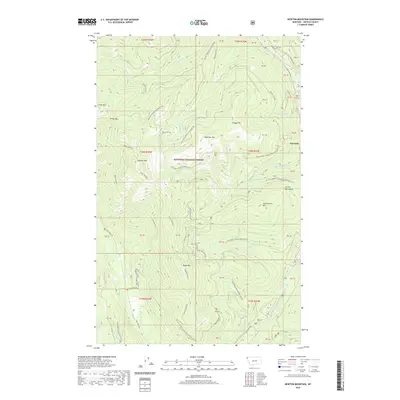
2020 Map of Newton Mountain
USGS Topo · Published 2020About this map
Sylvanite sits near the eastern edge of this landscape, positioned within the deep valleys of the Kootenai National Forest. The area is defined by the winding course of the Yaak River, which flows south toward the notable Yaak Falls. High peaks and ridges dominate the topography, including Newton Mtn, Keystone Mtn, and Abe Lincoln Mtn. A complex network of forestry routes, such as Natl Forest Develop Road 394 RD and Anc Creek Rd, provides access across the Purcell Mountains. These roads follow the natural drainages of Fourth of July Cr and Wampoo Cr, reflecting the region's reliance on timber management and mountain navigation. The survey also captures the transition from high summits like Cross Mtn and Windy Pass down to the creek beds of Newton Mountain/Cyclone Creek.
Find a feature on this map
60 named features on this map. Tap any name to fly to it.
Don’t see what you’re looking for? This feature index may not catch every label — zoom into the map to look around manually.
Map Details
Editions of this 2020 Newton Mountain Map
This is the sole edition of this map. No revisions or reprints were ever made.
Other maps of this area

1911 · Priest Lake
USGS Topo · 1:250,000

1913 · Priest Lake
USGS Topo · 1:250,000

1957 · Kalispell
USGS Topo · 1:250,000

1958 · Sandpoint
USGS Topo · 1:250,000

1960 · Kalispell
USGS Topo · 1:250,000

1961 · Kalispell
USGS Topo · 1:250,000

1963 · Sandpoint
USGS Topo · 1:250,000

1963 · Sylvanite
USGS Topo · 1:24,000

1963 · Mount Baldy
USGS Topo · 1:24,000

1963 · Pulpit Mountain
USGS Topo · 1:24,000