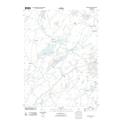
2011 Map of Newton West
USGS Topo · Published 2011About this map
Newton anchors the eastern edge of this Sussex County landscape, where the town's dense street grid gives way to the complex water systems of the Kittatinny Valley. The hydrology of the region is defined by the Paulins Kill and the Pequest River, with numerous man-made structures including the Swartswood Lake Dam and Headleys Pond Dam regulating the flow through these drainage basins. This 2011 survey reveals a landscape where agricultural traditions and modern recreation coexist, evidenced by the proximity of Windy Brow Orchard and High Hollow Farms to recreational hubs like Camp Saint Benedict and the County Camp.
Find a feature on this map
56 named features on this map. Tap any name to fly to it.
Don’t see what you’re looking for? This feature index may not catch every label — zoom into the map to look around manually.
Map Details
Editions of this 2011 Newton West Map
This is the sole edition of this map. No revisions or reprints were ever made.
Other maps of this area

1888 · Franklin
USGS Topo · 1:62,500

1888 · Hackettstown
USGS Topo · 1:62,500

1888 · Lake Hopatcong
USGS Topo · 1:62,500

1891 · Wallpack
USGS Topo · 1:62,500

1893 · Wallpack
USGS Topo · 1:62,500

1894 · Hackettstown
USGS Topo · 1:62,500

1894 · Lake Hopatcong
USGS Topo · 1:62,500

1894 · Franklin
USGS Topo · 1:62,500

1897 · Franklin
USGS Topo · 1:62,500

1898 · Lake Hopatcong
USGS Topo · 1:62,500