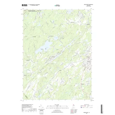
2019 Map of Newton West
USGS Topo · Published 2019About this map
Newton serves as the focal point for this survey of Sussex County, anchoring a landscape where civic life meets the complex hydrology of the Kittatinny Valley. The town center is densely documented, featuring the Sussex County Judicial Center and Sussex County Community College, alongside long-established local sites like Newton Cem and Saint Joseph Cem. Outside the county seat, the terrain is defined by the Paulins Kill and the Pequest River, which drain a region heavily pocketed with water bodies such as Swartswood Lake and Lake Kemah. To the northwest, the edge of the Delaware Water Gap National Recreation Area begins at Kittatinny Mtn, marking a transition from the agricultural and residential pockets of Stillwater and Fredon into protected wilderness. The map captures a mix of historic rural settlements like Balesville and modern residential developments surrounding the numerous glacial lakes.
Find a feature on this map
180 named features on this map. Tap any name to fly to it.
Don’t see what you’re looking for? This feature index may not catch every label — zoom into the map to look around manually.
Map Details
Editions of this 2019 Newton West Map
This is the sole edition of this map. No revisions or reprints were ever made.
Other maps of this area

1888 · Franklin
USGS Topo · 1:62,500

1888 · Hackettstown
USGS Topo · 1:62,500

1888 · Lake Hopatcong
USGS Topo · 1:62,500

1891 · Wallpack
USGS Topo · 1:62,500

1893 · Wallpack
USGS Topo · 1:62,500

1894 · Hackettstown
USGS Topo · 1:62,500

1894 · Lake Hopatcong
USGS Topo · 1:62,500

1894 · Franklin
USGS Topo · 1:62,500

1897 · Franklin
USGS Topo · 1:62,500

1898 · Lake Hopatcong
USGS Topo · 1:62,500