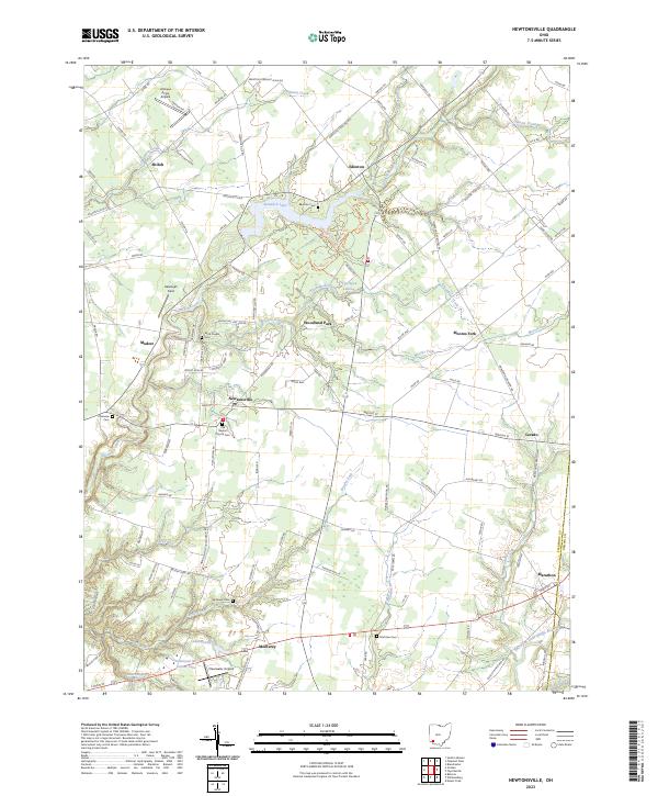
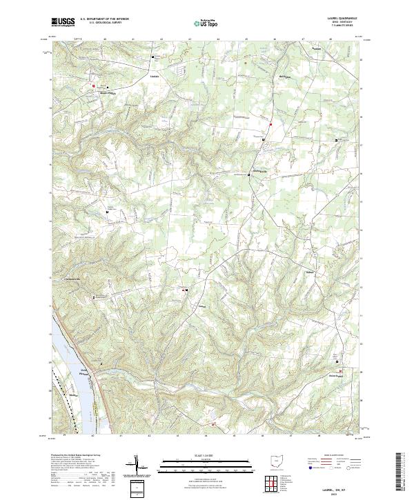
2023 Map of Newtonsville
USGS Topo · Published 2023About this map
Newtonsville and the surrounding Clermont County landscape are defined by a network of rural settlements and winding waterways including O'Bannon Creek and Stonelick Creek. This modern survey reveals a region balancing agricultural heritage with recreational developments, such as the shores of Stonelick Lake and the residential clusters of Woodland Park. Genealogy and local history are particularly well-represented through numerous burial sites, including the Old Baptist Church Cem, Brick Chapel Cem, and Hartman Cem, which anchor the small crossroads communities of Edenton and Monterey. The presence of Antique Acres Airpark and Clearwater Airpark highlights the area's ongoing connection to private aviation, while the southern boundary near Marathon follows the course of the East Fork Little Miami River. These details provide a clear picture of the land use patterns and historic markers preserved in this part of southwestern Ohio.
Find a feature on this map
122 named features on this map. Tap any name to fly to it.
Don’t see what you’re looking for? This feature index may not catch every label — zoom into the map to look around manually.
Map Details
Editions of this 2023 Newtonsville Map
This is the sole edition of this map. No revisions or reprints were ever made.
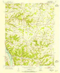
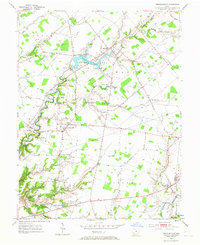
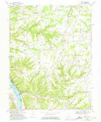
Historical Maps of Jackson Township Through Time
8 maps found
Featured Locations
- Stonelick Township, OH
- Wayne Township, OH
- Goshen Township, OH
- Jackson Township, OH
- Newtonsville, Wayne Township