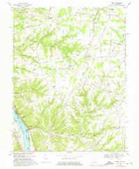
1968 Map of Laurel
USGS Topo · Published 1975About this map
Point Pleasant sits prominently along the north bank of the Ohio River in this detailed topographic record, marking the legendary birthplace of Ulysses S. Grant near Grant Roadside Park. The landscape is defined by the steep dissection of the river plateau, where narrow ridges carry historically important travel routes like the Lindale Nicholsville Road and Bethel New Richmond Road. These paths connect rural farming communities and crossroads such as Lindale, Nicholsville, and Saltair.
Find a feature on this map
72 named features on this map. Tap any name to fly to it.
Don’t see what you’re looking for? This feature index may not catch every label — zoom into the map to look around manually.
Map Details
Editions of this 1968 Laurel Map
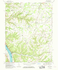
2 editions found
Other maps of this area

1898 · East Cincinnati
USGS Topo · 1:62,500

1914 · East Cincinnati
USGS Topo · 1:62,500

1914 · Batavia
USGS Topo · 1:48,000

1916 · Batavia
USGS Topo · 1:62,500

1929 · Alexandria
USGS Topo · 1:48,000

1931 · Felicity
USGS Topo · 1:62,500

1936 · Alexandria
USGS Topo · 1:62,500

1953 · Laurel
USGS Topo · 1:24,000

1953 · Withamsville
USGS Topo · 1:24,000

1953 · Bethel
USGS Topo · 1:24,000