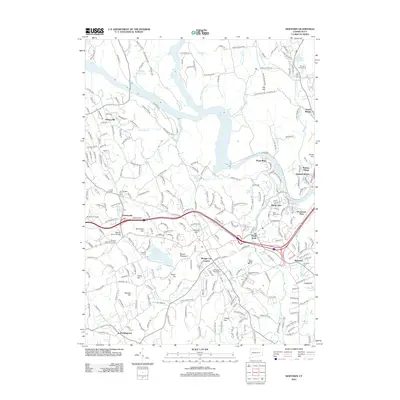
2012 Map of Newtown
USGS Topo · Published 2012About this map
Lake Zoar and the Housatonic River dominate the northern landscape of this Connecticut region, where several distinct communities are clustered along the riverbanks and intersecting roadways. The area includes the historic settlements of Sandy Hook, Hawleyville, and Dodgingtown, each showing a layout shaped by the undulating terrain of peaks like Taunton Hill and Mount Pleasant. Significant local landmarks such as the Stanley Simon Bridge and the Twin Bridges Picnic Area highlight the recreational and infrastructure developments of the early 21st century.
Find a feature on this map
269 named features on this map. Tap any name to fly to it.
Don’t see what you’re looking for? This feature index may not catch every label — zoom into the map to look around manually.
Map Details
Editions of this 2012 Newtown Map
This is the sole edition of this map. No revisions or reprints were ever made.
Other maps of this area

1889 · Derby
USGS Topo · 1:62,500

1891 · Derby
USGS Topo · 1:62,500

1892 · Danbury
USGS Topo · 1:62,500

1892 · New Milford
USGS Topo · 1:62,500

1893 · Waterbury
USGS Topo · 1:62,500

1893 · New Milford
USGS Topo · 1:62,500

1893 · Derby
USGS Topo · 1:62,500

1904 · New Milford
USGS Topo · 1:62,500

1904 · Waterbury
USGS Topo · 1:62,500

1904 · Litchfield
USGS Topo · 1:125,000