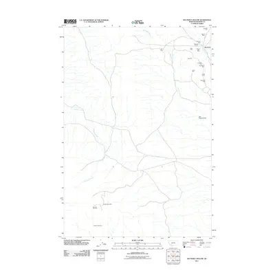
2011 Map of Nez Perce Hollow
USGS Topo · Published 2011About this map
Rochester stands as the primary settlement area in this high-altitude mining landscape within Madison County. The terrain is defined by the drainage of Nez Perce Creek, Rochester Creek, and McCartney Creek, which have historically provided the water necessary for the extensive mineral extraction operations visible throughout the quadrangle. The density of named mining sites concentrated around the northeastern corner suggests a legacy of hard-rock mining, with notable locations including the Ajax Mine, Champion Mine, and Watzicka Mine.
Find a feature on this map
21 named features on this map. Tap any name to fly to it.
Don’t see what you’re looking for? This feature index may not catch every label — zoom into the map to look around manually.
Map Details
Editions of this 2011 Nez Perce Hollow Map
This is the sole edition of this map. No revisions or reprints were ever made.
Other maps of this area

1893 · Dillon
USGS Topo · 1:250,000

1955 · Dillon
USGS Topo · 1:250,000

1957 · Dillon
USGS Topo · 1:250,000

1958 · Dillon
USGS Topo · 1:250,000

1960 · Glen
USGS Topo · 1:24,000

1960 · Block Mountain
USGS Topo · 1:24,000

1960 · Twin Bridges
USGS Topo · 1:62,500

1961 · Melrose
USGS Topo · 1:24,000

1961 · Earls Gulch
USGS Topo · 1:24,000

1961 · Wickiup Creek
USGS Topo · 1:24,000