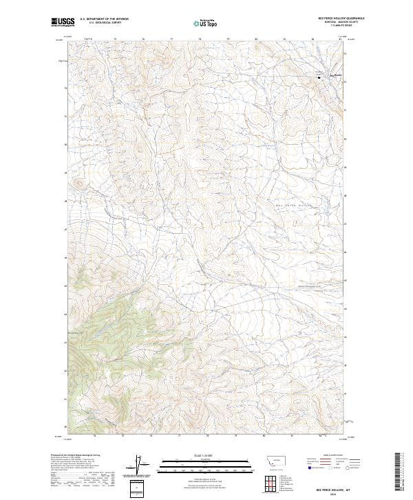
2024 Map of Nez Perce Hollow
USGS Topo · Published 2024About this map
Rochester sits in the northeastern corner of this high-altitude Madison County landscape, where the Rochester Cem remains a quiet fixture of the local history. The terrain is defined by the significant rise of McCartney Mtn to the southwest and the winding path of Reservoir Gulch. Water is a critical element in this arid environment, evidenced by the presence of Miller Spring, Reservoir Spring, and the drainage of McCartney Creek. The Melrose-Twin Bridges Co Rd serves as the primary artery through the region, connecting these remote points across the topography. The map illustrates a classic Western Montana pattern of scattered water sources and rugged landmarks like Nez Perce Hollow, which have long dictated the movement and settlement of people in this part of the state.
Find a feature on this map
18 named features on this map. Tap any name to fly to it.
Don’t see what you’re looking for? This feature index may not catch every label — zoom into the map to look around manually.
Map Details
Editions of this 2024 Nez Perce Hollow Map
This is the sole edition of this map. No revisions or reprints were ever made.
Other maps of this area

1893 · Dillon
USGS Topo · 1:250,000

1955 · Dillon
USGS Topo · 1:250,000

1957 · Dillon
USGS Topo · 1:250,000

1958 · Dillon
USGS Topo · 1:250,000

1960 · Glen
USGS Topo · 1:24,000

1960 · Block Mountain
USGS Topo · 1:24,000

1960 · Twin Bridges
USGS Topo · 1:62,500

1961 · Melrose
USGS Topo · 1:24,000

1961 · Earls Gulch
USGS Topo · 1:24,000

1961 · Wickiup Creek
USGS Topo · 1:24,000