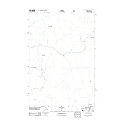
2011 Map of Nez Perce Peak
USGS Topo · Published 2011About this map
Nez Perce Peak and the high saddles of the Bitterroot range define this high-altitude landscape along the Montana-Idaho border. The 2011 survey documents a topography carved by a dense network of drainages, including Deep Creek, Vance Creek, and Hells Half Acre Creek. These waterways originate from prominent high points such as Devils Point and Roundtop Mountain, flowing through named features like Slow Gulch and Blue Joint Meadows. Access through this area is historically linked to Nez Perce Pass, a critical geographic waypoint for travel across the divide. The map details the transition between steep slopes like Steep Hill and the softer creek bottoms, providing a clear view of the wilderness character and the natural corridors used for navigation long before modern infrastructure.
Find a feature on this map
20 named features on this map. Tap any name to fly to it.
Don’t see what you’re looking for? This feature index may not catch every label — zoom into the map to look around manually.
Map Details
Editions of this 2011 Nez Perce Peak Map
This is the sole edition of this map. No revisions or reprints were ever made.
Other maps of this area

1956 · Elk City
USGS Topo · 1:250,000

1960 · Elk City
USGS Topo · 1:250,000

1960 · Painted Rocks Lake
USGS Topo · 1:62,500

1962 · Wood Hump
USGS Topo · 1:24,000

1962 · Beaver Jack Mtn
USGS Topo · 1:24,000

1962 · Blue Joint
USGS Topo · 1:24,000

1962 · Nez Perce Peak
USGS Topo · 1:24,000
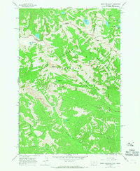
1964 · Mount Jerusalem
USGS Topo · 1:24,000

1966 · Watchtower Peak
USGS Topo · 1:24,000
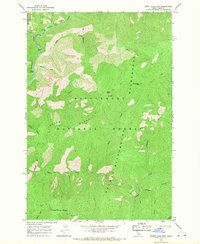
1966 · Burnt Strip Mtn
USGS Topo · 1:24,000