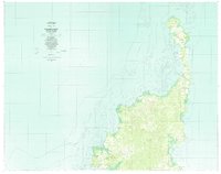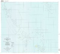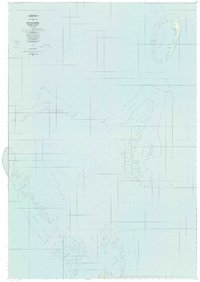
1984 Map of Ngcheangel
USGS Topo · Published 1984About this map
The northernmost atoll of the Republic of Palau, Ngcheangel is documented here as it appeared in the mid-1980s. The primary settlement clusters on the eastern side of the main reef, with residential pockets including Dilong, Dimes, and Ngerlunga lining the coast. The interior of the island is dominated by the Ngcheangel Uet, a large lagoon that serves as the central geographic feature for the community. Surrounding the main island, several smaller landmasses like Ngerbelas and Ngerachur are positioned along the southern and western reef margins.
Find a feature on this map
35 named features on this map. Tap any name to fly to it.
Don’t see what you’re looking for? This feature index may not catch every label — zoom into the map to look around manually.
Map Details
Editions of this 1984 Ngcheangel Map
This is the sole edition of this map. No revisions or reprints were ever made.