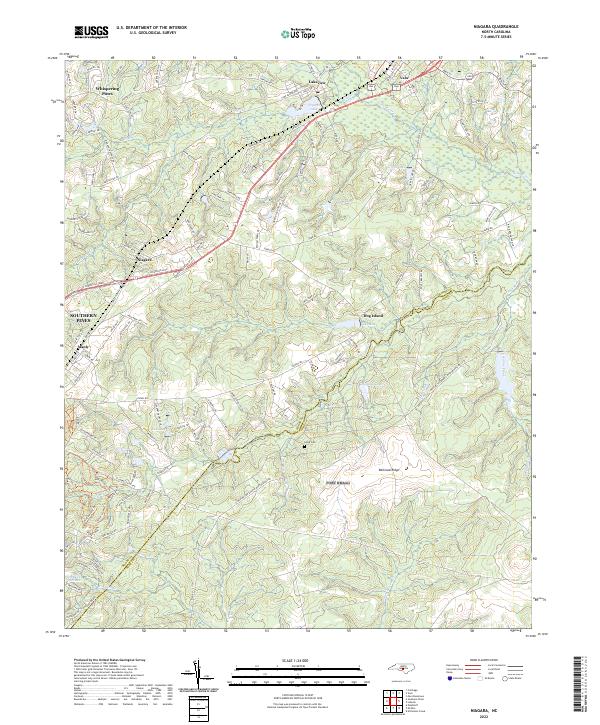
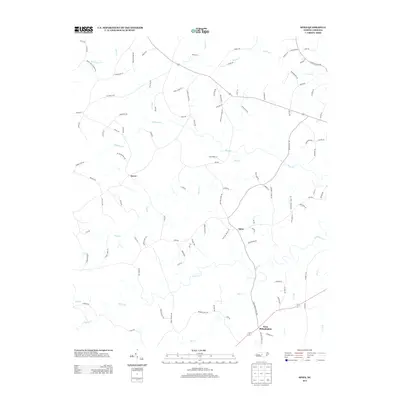
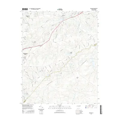
2022 Map of Niagara
USGS Topo · Published 2022About this map
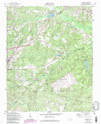
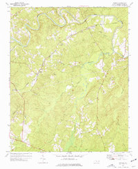
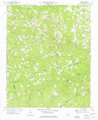
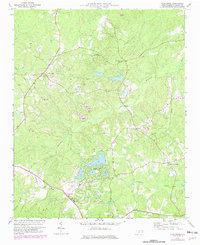
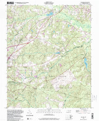
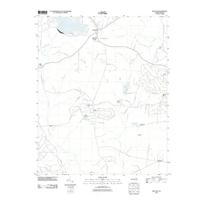
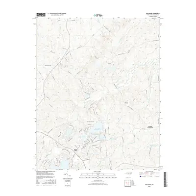
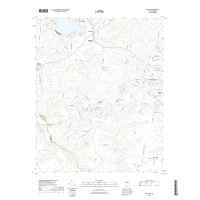
Whispering Pines and Vass anchor the northern reaches of this Moore County landscape, where the Sandhills region meets a complex network of streams and drainage basins. The area is defined by its transition from residential clusters to wooded lowlands, punctuated by numerous named water bodies like Crystal Lake and Griffin Lake. The border between Moore Co and Hoke Co cuts through the southeastern corner, following the natural terrain near Tuckahoe Creek.
Find a feature on this map
129 named features on this map. Tap any name to fly to it.
Don’t see what you’re looking for? This feature index may not catch every label — zoom into the map to look around manually.
Map Details
Editions of this 2022 Niagara Map
This is the sole edition of this map. No revisions or reprints were ever made.
Historical Maps of Southern Pines Through Time
34 maps found
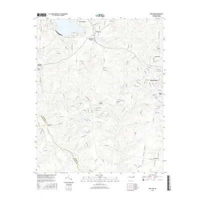
1949 West End
Moore County, NC
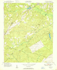
1950 Niagara
Moore County, NC
1950 Pine Bluff
Moore County, NC
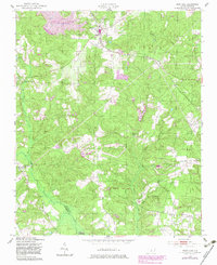
1957 Niagara
Moore County, NC
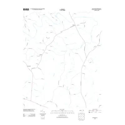
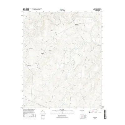
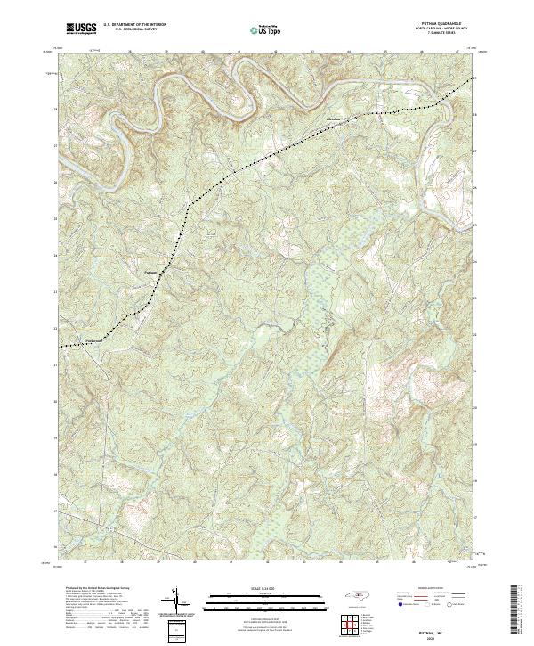
1974 Putnam
Moore County, NC
1976 Niagara
Moore County, NC
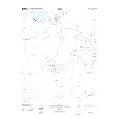
1976 West End
Moore County, NC
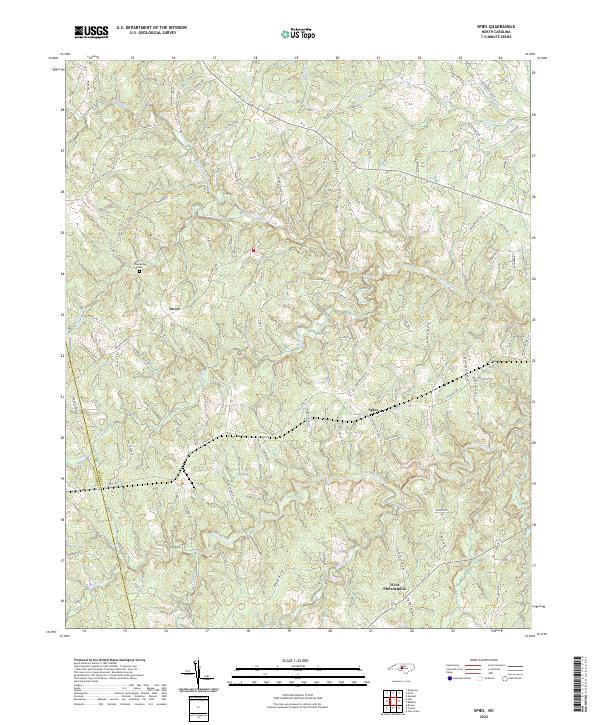
1977 Spies
Moore County, NC
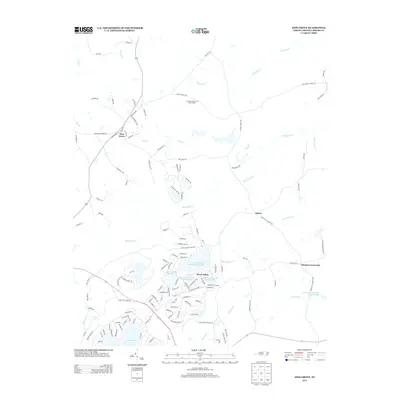
1977 Zion Grove
Moore County, NC
1998 Niagara
Moore County, NC
2010 Putnam
Moore County, NC
2010 Spies
Moore County, NC
2010 West End
Moore County, NC
2010 Zion Grove
Moore County, NC
2013 Niagara
Moore County, NC
2013 Putnam
Moore County, NC
2013 Spies
Moore County, NC
2013 West End
Moore County, NC
2013 Zion Grove
Moore County, NC
2016 Niagara
Moore County, NC
2016 Putnam
Moore County, NC
2016 Spies
Moore County, NC
2016 West End
Moore County, NC
2016 Zion Grove
Moore County, NC
2019 Niagara
Moore County, NC
2019 Putnam
Moore County, NC
2019 Spies
Moore County, NC
2019 West End
Moore County, NC
2019 Zion Grove
Moore County, NC
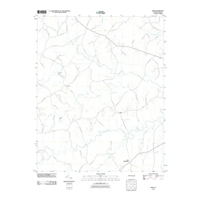
2022 Niagara
Moore County, NC
2022 Putnam
Moore County, NC
2022 Spies
Moore County, NC
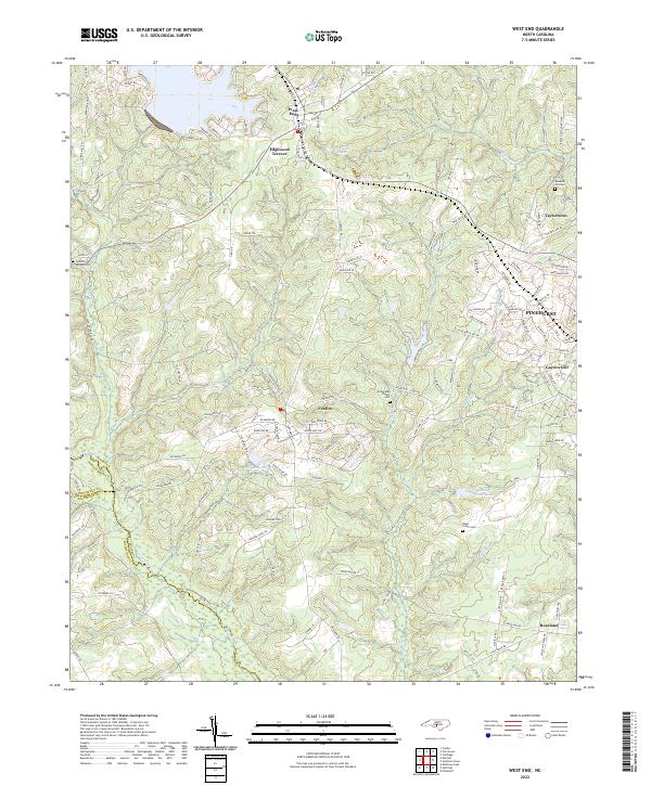
2022 West End
Moore County, NC
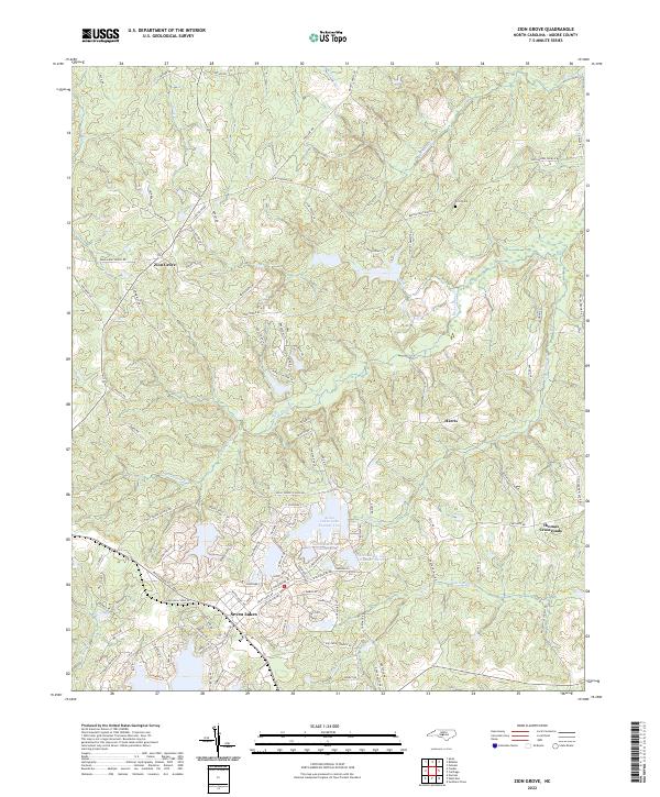
2022 Zion Grove
Moore County, NC