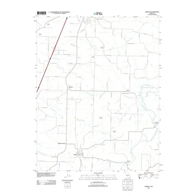
2011 Map of Niangua
USGS Topo · Published 2011About this map
Niangua and the rail-aligned community of Niangua Junction anchor this landscape where the Ozark plateau begins to break into a network of small creeks and drainages. The area is defined by its rural heritage, with numerous family and community burial grounds such as Tindle Cemetery, Letterman Cemetery, and Anderson Cemetery scattered across the township. Transport patterns are shaped by the natural topography, with historic crossings like Hamilton Bridge and Copening Bridge spanning the local waterways.
Find a feature on this map
81 named features on this map. Tap any name to fly to it.
Don’t see what you’re looking for? This feature index may not catch every label — zoom into the map to look around manually.
Map Details
Editions of this 2011 Niangua Map
This is the sole edition of this map. No revisions or reprints were ever made.
Other maps of this area

1939 · Long Lane
USGS Topo · 1:62,500

1941 · Lebanon
USGS Topo · 1:62,500

1942 · Long Lane
USGS Topo · 1:62,500

1943 · Lebanon
USGS Topo · 1:62,500

1946 · Niangua
USGS Topo · 1:62,500

1948 · Niangua
USGS Topo · 1:62,500

1954 · Springfield
USGS Topo · 1:250,000

1956 · Duncan
USGS Topo · 1:24,000

1956 · Rader
USGS Topo · 1:24,000

1958 · Springfield
USGS Topo · 1:250,000