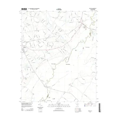
2014 Map of Nichols
USGS Topo · Published 2014About this map
The confluence of the Lumber River and the Little Pee Dee River dominates the eastern landscape of this Marion County region, where the river-rich terrain is defined by swampy lowlands and named islands. Small riverside landings such as Stave Landing, Pitch Landing, and Red Bluff dot the banks of the winding Little Pee Dee, reflecting a historical reliance on these watercourses for transit and commerce. To the west, the settlement of Mullins serves as a primary hub, while Nichols sits near the junction of major rail and road corridors near Huggins Lake. The area is notably dense with small family or community burial grounds, including Clay Hill Cem, Nichols Cem, and Old State Cem, which provide significant points of interest for genealogical research. Prominent terrain features like the Big Sand Hills and Bear Sand Ridges rise above the river plains, marking the distinct topography of the Coastal Plain.
Find a feature on this map
175 named features on this map. Tap any name to fly to it.
Don’t see what you’re looking for? This feature index may not catch every label — zoom into the map to look around manually.
Map Details
Editions of this 2014 Nichols Map
This is the sole edition of this map. No revisions or reprints were ever made.
Other maps of this area

1943 · Pages Mill
USGS Topo · 1:62,500

1946 · Mullins
USGS Topo · 1:24,000

1947 · Centenary
USGS Topo · 1:24,000

1947 · Mullins
USGS Topo · 1:24,000

1948 · Galivants Ferry
USGS Topo · 1:24,000

1948 · Nichols
USGS Topo · 1:24,000

1948 · Bayboro
USGS Topo · 1:24,000

1949 · Bayboro
USGS Topo · 1:24,000

1949 · Duford
USGS Topo · 1:24,000

1950 · Galivants Ferry
USGS Topo · 1:24,000