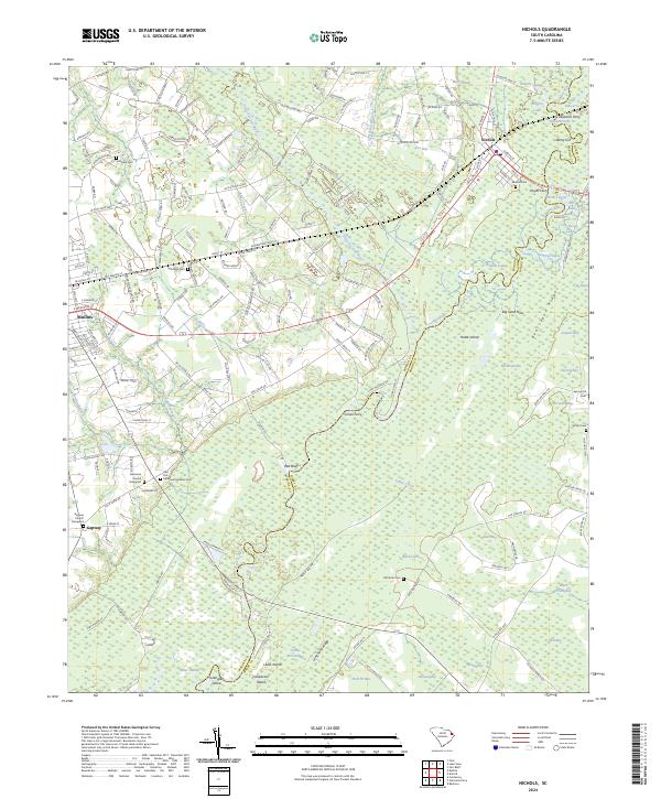
2024 Map of Nichols
USGS Topo · Published 2024About this map
Lumber River and Little Pee Dee River converge in this low-lying region of South Carolina, creating a complex network of wetlands and riverine islands. The landscape is defined by its numerous "bays" and "swamps," including Fox Bay, Turkey Pen Swamp, and Noel Bay, which separate local settlements from the river corridors. The town of Nichols sits at a geographic crossroads near the confluence, while Mullins and the community of Gapway anchor the western portion of the map.
Find a feature on this map
192 named features on this map. Tap any name to fly to it.
Don’t see what you’re looking for? This feature index may not catch every label — zoom into the map to look around manually.
Map Details
Editions of this 2024 Nichols Map
This is the sole edition of this map. No revisions or reprints were ever made.
Other maps of this area
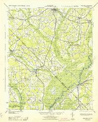
1943 · Pages Mill
USGS Topo · 1:62,500
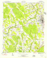
1946 · Mullins
USGS Topo · 1:24,000
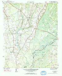
1947 · Centenary
USGS Topo · 1:24,000
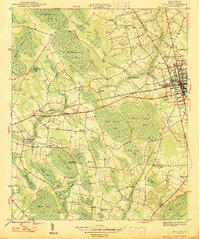
1947 · Mullins
USGS Topo · 1:24,000
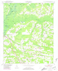
1948 · Galivants Ferry
USGS Topo · 1:24,000
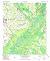
1948 · Nichols
USGS Topo · 1:24,000
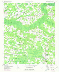
1948 · Bayboro
USGS Topo · 1:24,000
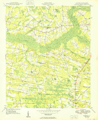
1949 · Bayboro
USGS Topo · 1:24,000
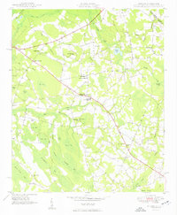
1949 · Duford
USGS Topo · 1:24,000
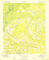
1950 · Galivants Ferry
USGS Topo · 1:24,000