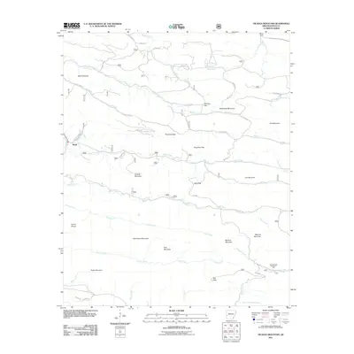
2011 Map of Nichols Mountain
USGS Topo · Published 2011About this map
Nichols Mountain stands as a central landmark in this portion of Polk County, where the ridge-and-valley topography dictates the path of local infrastructure. The settlement of Shady is positioned along Sulphur Creek in the western reaches, while the village of Big Fork sits near the eastern edge of the quadrangle. This area serves as a significant drainage divide for several major waterways, including the headwaters of the Little Missouri River and the Saline River.
Find a feature on this map
86 named features on this map. Tap any name to fly to it.
Don’t see what you’re looking for? This feature index may not catch every label — zoom into the map to look around manually.
Map Details
Editions of this 2011 Nichols Mountain Map
This is the sole edition of this map. No revisions or reprints were ever made.
Other maps of this area

1890 · Mount Ida
USGS Topo · 1:125,000

1890 · Poteau Mountain
USGS Topo · 1:125,000

1899 · Poteau Mountain
USGS Topo · 1:125,000

1906 · Caddo Gap
USGS Topo · 1:125,000

1913 · De Queen
USGS Topo · 1:125,000

1936 · Athens
USGS Topo · 1:48,000

1942 · Athens
USGS Topo · 1:62,500

1950 · Mcalester
USGS Topo · 1:250,000

1955 · Little Rock
USGS Topo · 1:250,000

1956 · Little Rock
USGS Topo · 1:250,000