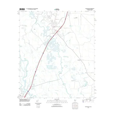
2012 Map of Nicholson
USGS Topo · Published 2012About this map
Nicholson serves as the primary settlement on this landscape where the piney woods of southern Mississippi meet the intricate wetland systems of the Pearl River basin. The area is defined by a dense network of waterways including Yellow Bayou, English Bayou, and Seaburn House Bayou, which weave through the lowlands known as The Delta. This hydraulic environment influenced early transportation and land use, evidenced by the scattered nature of settlements like Santa Rosa and the location of the Picayune Municipal Airport on higher ground to the northeast.
Find a feature on this map
91 named features on this map. Tap any name to fly to it.
Don’t see what you’re looking for? This feature index may not catch every label — zoom into the map to look around manually.
Map Details
Editions of this 2012 Nicholson Map
This is the sole edition of this map. No revisions or reprints were ever made.
Other maps of this area

1914 · Nicholson
USGS Topo · 1:62,500

1921 · Nicholson
USGS Topo · 1:62,500

1935 · Slidell
USGS Topo · 1:62,500

1939 · Slidell
USGS Topo · 1:62,500

1941 · Honey Island
USGS Topo · 1:31,680

1942 · Walkiah Bluff
USGS Topo · 1:31,680

1950 · Haaswood
USGS Topo · 1:31,680

1950 · Slidell
USGS Topo · 1:62,500

1953 · Mobile
USGS Topo · 1:250,000

1954 · Haaswood
USGS Topo · 1:31,680