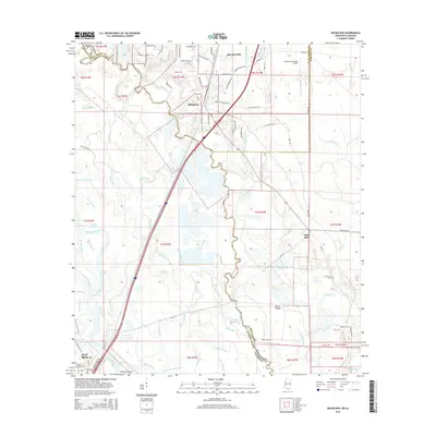
2015 Map of Nicholson
USGS Topo · Published 2015About this map
The West Pearl River and its intricate network of bayous define the boundary between Mississippi and Louisiana in this 2015 record. The city of Picayune anchors the northern portion of the map, with the community of Nicholson situated just to the south. This area is characterized by a dense system of waterways, including Indian Bayou, Clear Bayou, and Turkey Bayou, which illustrate the complex drainage patterns of the lower river basin. Significant local landmarks such as the Picayune Municipal Airport and Porters Island appear alongside established rural settlements like Santa Rosa. The map provides specific locational data for genealogists and local historians, noting the River Cem and Turtleskin Cem, as well as numerous family-named roads like Sam Mitchell Rd and Dick Kennedy Rd that link these communities together.
Find a feature on this map
98 named features on this map. Tap any name to fly to it.
Don’t see what you’re looking for? This feature index may not catch every label — zoom into the map to look around manually.
Map Details
Editions of this 2015 Nicholson Map
This is the sole edition of this map. No revisions or reprints were ever made.
Other maps of this area

1914 · Nicholson
USGS Topo · 1:62,500

1921 · Nicholson
USGS Topo · 1:62,500

1935 · Slidell
USGS Topo · 1:62,500

1939 · Slidell
USGS Topo · 1:62,500

1941 · Honey Island
USGS Topo · 1:31,680

1942 · Walkiah Bluff
USGS Topo · 1:31,680

1950 · Haaswood
USGS Topo · 1:31,680

1950 · Slidell
USGS Topo · 1:62,500

1953 · Mobile
USGS Topo · 1:250,000

1954 · Haaswood
USGS Topo · 1:31,680