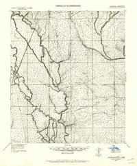
1914 Map of Nicholson
USGS Topo · Published 1957About this map
Honey Island and the complex waterways of the lower Pearl River dominate this early 20th-century tactical survey. The landscape is defined by a dense network of bayous and rivers, including Indian Bayou, English Bayou, and the West Pearl River, which carve through the marshy terrain along the state boundary. Settlement is concentrated near the New Orleans Northeastern R. R. and the logging operations that drove the local economy.
Find a feature on this map
35 named features on this map. Tap any name to fly to it.
Don’t see what you’re looking for? This feature index may not catch every label — zoom into the map to look around manually.
Map Details
Editions of this 1914 Nicholson Map
2 editions found
Other maps of this area

1892 · Chef Menteur
USGS Topo · 1:62,500

1893 · Rigolets
USGS Topo · 1:62,500

1893 · Toulme
USGS Topo · 1:62,500

1914 · Nicholson
USGS Topo · 1:62,500

1921 · Nicholson
USGS Topo · 1:62,500

1935 · Slidell
USGS Topo · 1:62,500

1935 · English Lookout
USGS Topo · 1:31,680

1935 · Grand Island Pass
USGS Topo · 1:31,680

1936 · North Shore
USGS Topo · 1:31,680

1936 · Chef Menteur
USGS Topo · 1:62,500