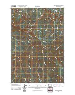
2011 Map of Nicolai Mountain
USGS Topo · Published 2011About this map
Nicolai Mountain dominates this portion of Clatsop County, serving as the headwaters for a complex network of coastal streams. The landscape is defined by its drainage patterns, with Gnat Creek flowing northwest toward Gnat Creek Falls, while Fishhawk Creek and Northrup Creek carve paths through the southern reaches. This 2011 survey illustrates the modern forestry and access infrastructure of the region, marked by the Foster Mainline and several named mountain roads that snake through the ridges. The prominence of Nicolai Ridge and Porter Ridge highlights the divide between the various creek basins, including the secluded Lost Lake in the northeastern corner. The presence of roads such as Greasy Spoon Rd and Cow Creek Rd reflects the continued importance of land management and natural resource access in this upland environment.
Find a feature on this map
30 named features on this map. Tap any name to fly to it.
Don’t see what you’re looking for? This feature index may not catch every label — zoom into the map to look around manually.
Map Details
Editions of this 2011 Nicolai Mountain Map
This is the sole edition of this map. No revisions or reprints were ever made.
Other maps of this area

1939 · Saddle Mountain
USGS Topo · 1:62,500

1940 · Svensen
USGS Topo · 1:62,500

1941 · Keasey
USGS Topo · 1:62,500

1941 · Cathlamet
USGS Topo · 1:62,500

1943 · Keasey
USGS Topo · 1:62,500

1943 · Saddle Mtn.
USGS Topo · 1:62,500

1948 · Vancouver
USGS Topo · 1:250,000

1950 · Vancouver
USGS Topo · 1:250,000

1950 · Vancouver
USGS Topo · 1:250,000

1953 · Hoquiam
USGS Topo · 1:250,000