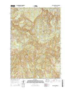
2014 Map of Nicolai Mountain
USGS Topo · Published 2014About this map
Nicolai Mountain and Nicolai Ridge dominate this section of the Northern Oregon Coast Range, where the landscape is defined by its drainage basins and historical timber access. The map reveals an intricate network of logging infrastructure, including the Foster Mainline, Big Creek Mainline, and the Nicolai-Beneke Grade, illustrating how the terrain was navigated for industrial use. Hydrological features are prominent throughout, from the Gnat Creek Falls on Gnat Cr to the high-elevation Lost Lake and the various forks of Plympton Cr. The southern portion of the quadrangle descends toward the Nehalem Valley, with small tributaries like Cow Cr and Walker Cr carving through the ridges. This 2014 survey serves as a record of modern forest management and topography in Clatsop County before any subsequent changes in the road systems or waterway classifications.
Find a feature on this map
36 named features on this map. Tap any name to fly to it.
Don’t see what you’re looking for? This feature index may not catch every label — zoom into the map to look around manually.
Map Details
Editions of this 2014 Nicolai Mountain Map
This is the sole edition of this map. No revisions or reprints were ever made.
Other maps of this area

1939 · Saddle Mountain
USGS Topo · 1:62,500

1940 · Svensen
USGS Topo · 1:62,500

1941 · Keasey
USGS Topo · 1:62,500

1941 · Cathlamet
USGS Topo · 1:62,500

1943 · Keasey
USGS Topo · 1:62,500

1943 · Saddle Mtn.
USGS Topo · 1:62,500

1948 · Vancouver
USGS Topo · 1:250,000

1950 · Vancouver
USGS Topo · 1:250,000

1950 · Vancouver
USGS Topo · 1:250,000

1953 · Hoquiam
USGS Topo · 1:250,000