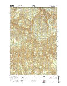
2017 Map of Nicolai Mountain
USGS Topo · Published 2017About this map
Nicolai Mtn dominates this portion of the Northern Oregon Coast Range, overlooking a landscape defined by industrial forestry and a dense network of mountain drainages. The topography is marked by significant logging infrastructure, including the Nicolai-Beneke Grade, Big Creek Mainline, and Foster Mainline, which trace the difficult terrain to extract timber from the high ridges. These routes suggest a long history of resource extraction that continues to shape the local economy and geography.
Find a feature on this map
39 named features on this map. Tap any name to fly to it.
Don’t see what you’re looking for? This feature index may not catch every label — zoom into the map to look around manually.
Map Details
Editions of this 2017 Nicolai Mountain Map
This is the sole edition of this map. No revisions or reprints were ever made.
Other maps of this area

1939 · Saddle Mountain
USGS Topo · 1:62,500

1940 · Svensen
USGS Topo · 1:62,500

1941 · Keasey
USGS Topo · 1:62,500

1941 · Cathlamet
USGS Topo · 1:62,500

1943 · Keasey
USGS Topo · 1:62,500

1943 · Saddle Mtn.
USGS Topo · 1:62,500

1948 · Vancouver
USGS Topo · 1:250,000

1950 · Vancouver
USGS Topo · 1:250,000

1950 · Vancouver
USGS Topo · 1:250,000

1953 · Hoquiam
USGS Topo · 1:250,000