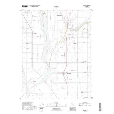
2018 Map of Nicolaus
USGS Topo · Published 2018About this map
The confluence of the Feather River and Bear River defines this portion of the Sacramento Valley in southern Sutter County. The landscape is marked by an intricate network of waterways, including Yankee Slough, Ping Slough, and Raccoon Cr, which navigate the flat alluvial plains between established agricultural settlements. This 2018 survey captures the interface of traditional riverfront hamlets like Nicolaus and East Nicolaus with the modern development of Plumas Lake to the north. For genealogists and local historians, the map identifies specific points of interest such as Fairview Cem and Nicolaus Cem, alongside a precise grid of rural roads including Garden Hwy and Powerline Rd that follow the region's historic property lines and irrigation patterns.
Find a feature on this map
81 named features on this map. Tap any name to fly to it.
Don’t see what you’re looking for? This feature index may not catch every label — zoom into the map to look around manually.
Map Details
Editions of this 2018 Nicolaus Map
This is the sole edition of this map. No revisions or reprints were ever made.
Other maps of this area

1888 · Marysville
USGS Topo · 1:125,000

1888 · Smartsville
USGS Topo · 1:125,000

1891 · Sacramento
USGS Topo · 1:125,000

1891 · Marysville
USGS Topo · 1:125,000

1891 · Smartsville
USGS Topo · 1:125,000

1892 · Sacramento
USGS Topo · 1:125,000

1892 · Smartsville
USGS Topo · 1:125,000

1893 · Sacramento
USGS Topo · 1:125,000

1894 · Smartsville
USGS Topo · 1:125,000

1894 · Marysville
USGS Topo · 1:125,000