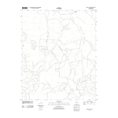
2010 Map of Nicoll Lake
USGS Topo · Published 2010About this map
Pinehill and the uniquely named settlement of Candy Kitchen anchor this high-desert landscape in the early 21st century. The terrain is defined by a series of significant drainage systems, including Crockett Draw, Loma del Medio Draw, and White Horse Draw, which channel seasonal water toward the Rio Pescado and the intermittent Nicoll Lake. The road network reveals a distinct pattern of governance and local naming, dominated by numerous Bureau of Indian Affairs routes like Indian Service Route 121 alongside evocative local residential labels such as Great White Father Rd, Sierra de Manana Dr, and Wilderness Rd. The infrastructure suggests a modern rural community where legacy Indian Service routes interface with newer residential developments and trails such as Jackrabbit Trl and Jubilee Trl.
Find a feature on this map
52 named features on this map. Tap any name to fly to it.
Don’t see what you’re looking for? This feature index may not catch every label — zoom into the map to look around manually.
Map Details
Editions of this 2010 Nicoll Lake Map
This is the sole edition of this map. No revisions or reprints were ever made.
Other maps of this area
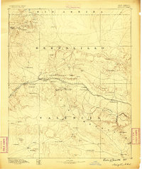
1886 · Wingate
USGS Topo · 1:250,000
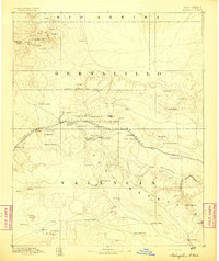
1892 · Wingate
USGS Topo · 1:250,000

1954 · Saint Johns
USGS Topo · 1:250,000

1954 · Gallup
USGS Topo · 1:250,000

1957 · Saint Johns
USGS Topo · 1:250,000

1958 · Gallup
USGS Topo · 1:250,000

1958 · Saint Johns
USGS Topo · 1:250,000

1959 · Gallup
USGS Topo · 1:250,000
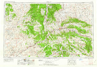
1962 · Gallup
USGS Topo · 1:250,000

1962 · Saint Johns
USGS Topo · 1:250,000
Featured Places
- Eastern Navajo Agency, NM
- Mountain View, Eastern Navajo Agency
- Pinehill, Eastern Navajo Agency
- McKinley County, NM
- Cibola County, NM