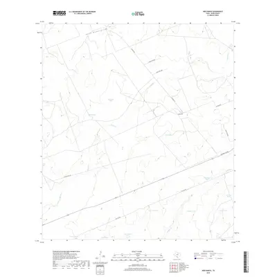
2019 Map of Nido Ranch
USGS Topo · Published 2019About this map
Nido Ranch serves as a primary landmark in this ranchland region of Webb County, characterized by an intricate network of ephemeral water sources and drainage channels. The landscape is defined by the seasonal flow of Tejones Cr and the larger Palito Blanco Arroyo, which carve through the terrain. Human adaptation to this semi-arid environment is visible through the numerous livestock tanks and ponds scattered across the territory, including Nido Tank, Huisachosa Tank, and Calabazas Pond. Transportation in the late 2010s is facilitated by a grid of rural routes such as Jefferies Rd and San Juan Rd, alongside the modern industrial corridor of the Columbia Toll Rd. This spatial arrangement of tanks like Venados Tank and Comitas Tank underscores the importance of water management for cattle operations in South Texas.
Find a feature on this map
20 named features on this map. Tap any name to fly to it.
Don’t see what you’re looking for? This feature index may not catch every label — zoom into the map to look around manually.
Map Details
Editions of this 2019 Nido Ranch Map
This is the sole edition of this map. No revisions or reprints were ever made.
Other maps of this area

1956 · Las Tiendas
USGS Topo · 1:62,500

1956 · Islitas
USGS Topo · 1:62,500

1956 · Laredo East
USGS Topo · 1:62,500

1956 · Webb
USGS Topo · 1:62,500

1956 · Laredo
USGS Topo · 1:250,000

1965 · Orvil
USGS Topo · 1:24,000

1965 · Spohn Ranch
USGS Topo · 1:24,000

1965 · Cuervo Creek
USGS Topo · 1:24,000

1965 · Cerritos Blancos
USGS Topo · 1:24,000

1965 · Nido Ranch
USGS Topo · 1:24,000