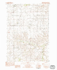
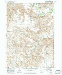
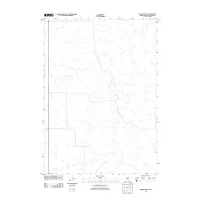
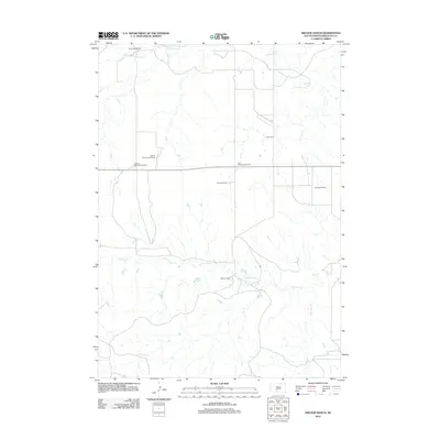
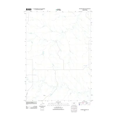
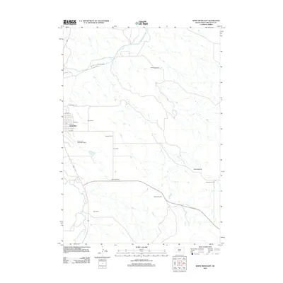
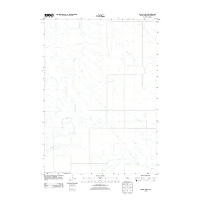
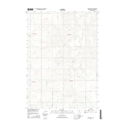
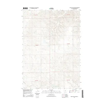
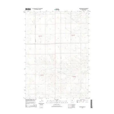
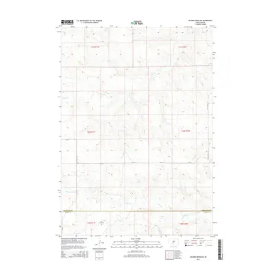
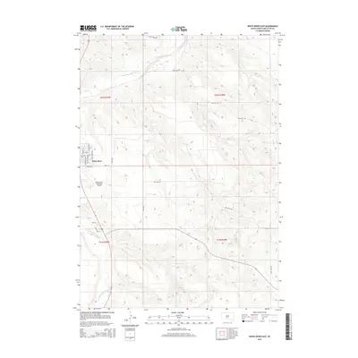
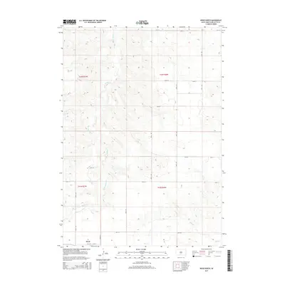
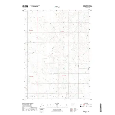
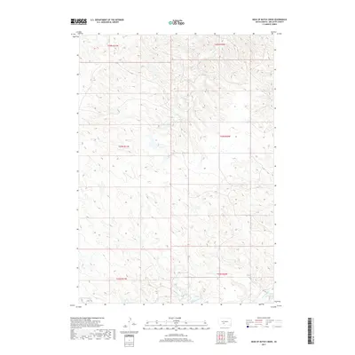
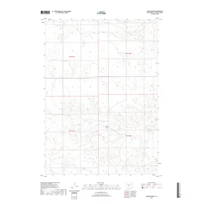
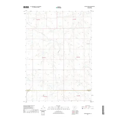
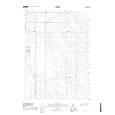
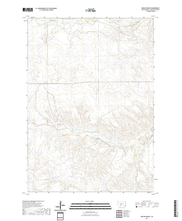
1982 Map of Nielson Ranch
USGS Topo · Published 1994About this map
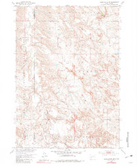
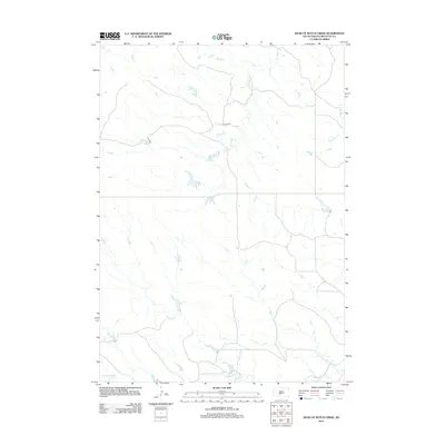
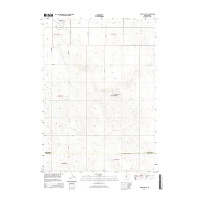
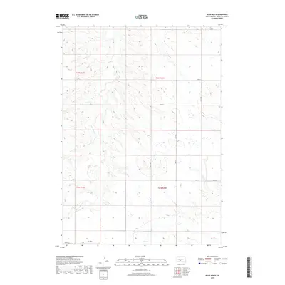
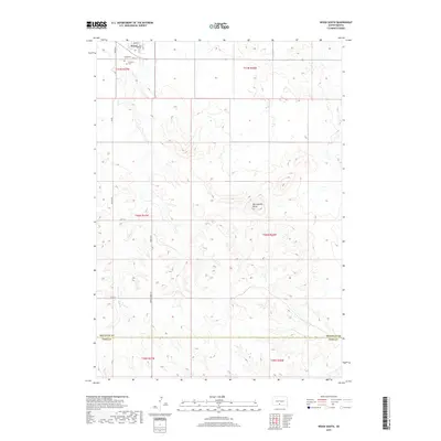
Nielson Ranch and several other family-held homesteads anchor this 1982 survey of the Mellette County ranchlands. The landscape is defined by its drainages, where Cottonwood Creek and its associated Cottonwood Valley transition into the south-flowing Pine Creek and its branches. This area is characterized by a sparse but clear pattern of rural settlement, where prominent landholdings like the Marvin Chamberlain Ranch, Charles Chamberlain Ranch, and Lyle Chamberlain Ranch are situated near the topographic shifts of Surprise Valley. The map documents the specific locations of ranch structures and local roads as they existed in the early 1980s, providing a geographic record of the families and operations that managed this prairie terrain. Notable landmarks such as Running Bird and the Harris Ranch further illustrate the distribution of property and community across these high plains.
Find a feature on this map
17 named features on this map. Tap any name to fly to it.
Don’t see what you’re looking for? This feature index may not catch every label — zoom into the map to look around manually.
Map Details
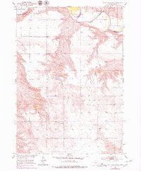
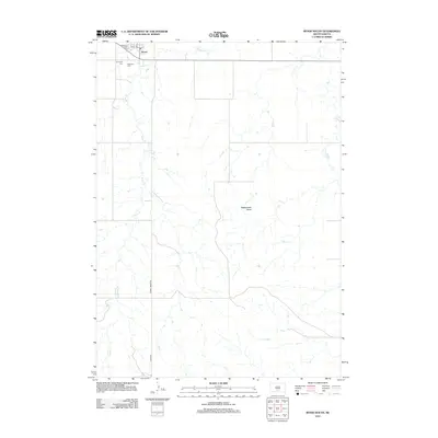
Editions of this 1982 Nielson Ranch Map
2 editions found
Historical Maps of Swift Bear Segment Through Time
120 maps found
1951 Badnation
Mellette County, SD
1951 Badnation NW
Mellette County, SD

1951 Cedar Butte NE
Mellette County, SD
1951 Cedar Butte NW
Mellette County, SD
1951 Head Of Butch Creek
Mellette County, SD
1951 Okaton SW
Mellette County, SD
1951 Stamford SE
Mellette County, SD
1951 West Of Westover
Mellette County, SD

1951 Westover
Mellette County, SD
1951 White River NE
Mellette County, SD

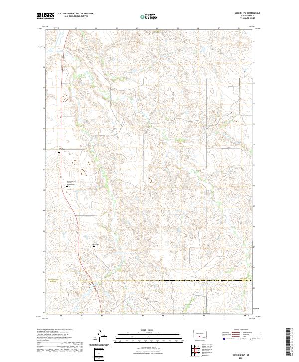
1969 Mission NW
Mellette County, SD

1969 Parmelee NE
Mellette County, SD

1969 Soldier Creek NE
Mellette County, SD

1969 Soldier Creek NW
Mellette County, SD

1981 Cedar Butte
Mellette County, SD

1982 Badnation SE
Mellette County, SD

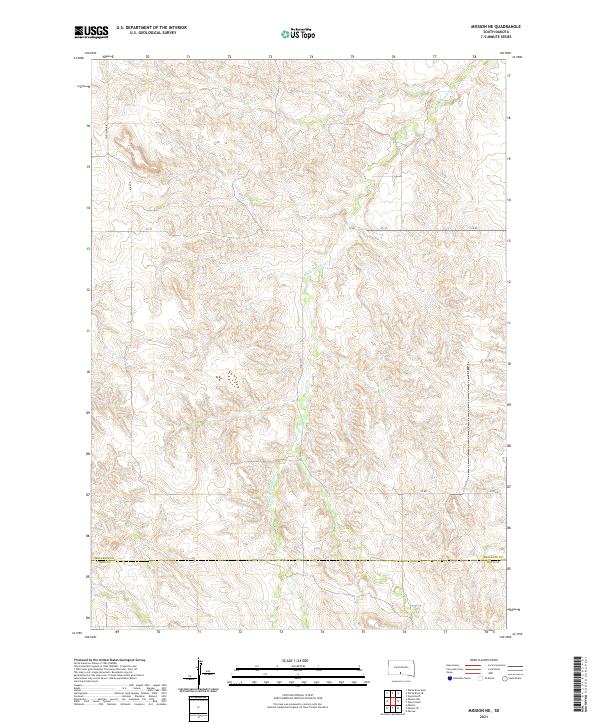
1982 Mission NE
Mellette County, SD

1982 Mosher
Mellette County, SD
1982 Nielson Ranch
Mellette County, SD

1982 White River East
Mellette County, SD

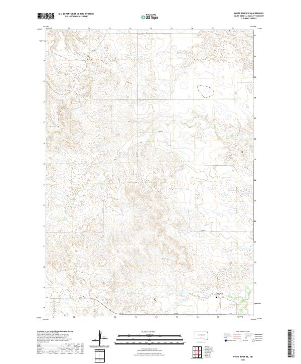
1982 White River SE
Mellette County, SD

1982 White River West
Mellette County, SD

1982 Wood North
Mellette County, SD

1982 Wood South
Mellette County, SD
2012 Badnation
Mellette County, SD
2012 Badnation NW
Mellette County, SD
2012 Badnation SE
Mellette County, SD
2012 Cedar Butte
Mellette County, SD
2012 Cedar Butte NE
Mellette County, SD
2012 Cedar Butte NW
Mellette County, SD
2012 Head of Butch Creek
Mellette County, SD
2012 Mission NE
Mellette County, SD
2012 Mission NW
Mellette County, SD
2012 Mosher
Mellette County, SD
2012 Nielson Ranch
Mellette County, SD
2012 Okaton SW
Mellette County, SD
2012 Parmelee NE
Mellette County, SD
2012 Soldier Creek NE
Mellette County, SD
2012 Soldier Creek NW
Mellette County, SD
2012 Stamford SE
Mellette County, SD
2012 West of Westover
Mellette County, SD
2012 Westover
Mellette County, SD
2012 White River East
Mellette County, SD
2012 White River NE
Mellette County, SD
2012 White River SE
Mellette County, SD
2012 White River West
Mellette County, SD
2012 Wood North
Mellette County, SD
2012 Wood South
Mellette County, SD
2015 Badnation
Mellette County, SD
2015 Badnation NW
Mellette County, SD
2015 Badnation SE
Mellette County, SD
2015 Cedar Butte
Mellette County, SD
2015 Cedar Butte NE
Mellette County, SD
2015 Cedar Butte NW
Mellette County, SD
2015 Head of Butch Creek
Mellette County, SD
2015 Mission NE
Mellette County, SD
2015 Mission NW
Mellette County, SD
2015 Mosher
Mellette County, SD
2015 Nielson Ranch
Mellette County, SD
2015 Okaton SW
Mellette County, SD
2015 Parmelee NE
Mellette County, SD
2015 Soldier Creek NE
Mellette County, SD
2015 Soldier Creek NW
Mellette County, SD
2015 Stamford SE
Mellette County, SD
2015 West of Westover
Mellette County, SD
2015 Westover
Mellette County, SD
2015 White River East
Mellette County, SD
2015 White River NE
Mellette County, SD
2015 White River SE
Mellette County, SD
2015 White River West
Mellette County, SD
2015 Wood North
Mellette County, SD
2015 Wood South
Mellette County, SD
2017 Badnation
Mellette County, SD
2017 Badnation NW
Mellette County, SD
2017 Badnation SE
Mellette County, SD
2017 Cedar Butte
Mellette County, SD
2017 Cedar Butte NE
Mellette County, SD
2017 Cedar Butte NW
Mellette County, SD
2017 Head of Butch Creek
Mellette County, SD
2017 Mission NE
Mellette County, SD
2017 Mission NW
Mellette County, SD
2017 Mosher
Mellette County, SD
2017 Nielson Ranch
Mellette County, SD
2017 Okaton SW
Mellette County, SD
2017 Parmelee NE
Mellette County, SD
2017 Soldier Creek NE
Mellette County, SD
2017 Soldier Creek NW
Mellette County, SD
2017 Stamford SE
Mellette County, SD
2017 West of Westover
Mellette County, SD
2017 Westover
Mellette County, SD
2017 White River East
Mellette County, SD
2017 White River NE
Mellette County, SD
2017 White River SE
Mellette County, SD
2017 White River West
Mellette County, SD
2017 Wood North
Mellette County, SD
2017 Wood South
Mellette County, SD
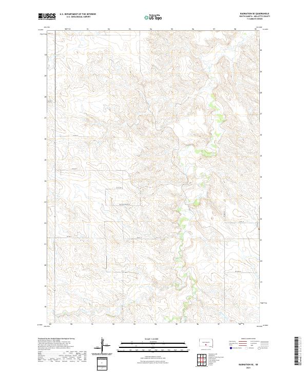
2021 Badnation
Mellette County, SD
2021 Badnation NW
Mellette County, SD
2021 Badnation SE
Mellette County, SD

2021 Cedar Butte
Mellette County, SD
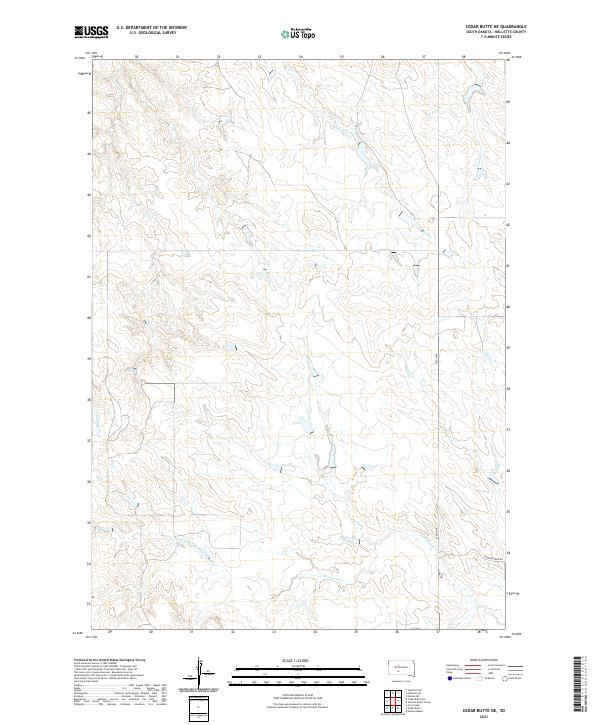
2021 Cedar Butte NE
Mellette County, SD
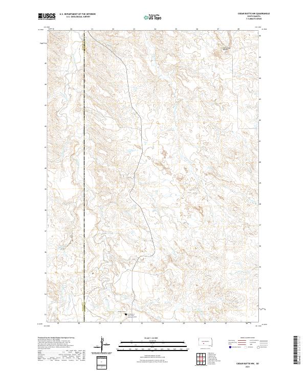
2021 Cedar Butte NW
Mellette County, SD
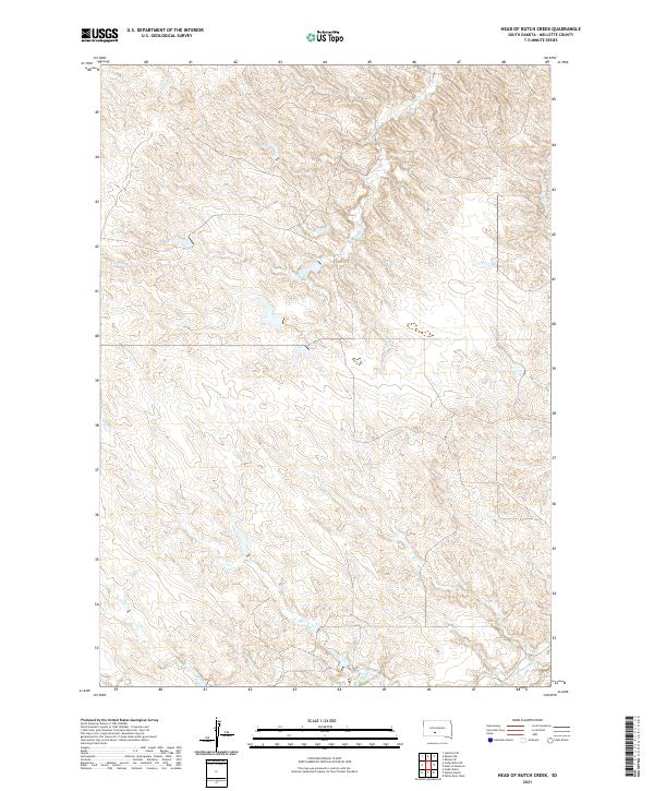
2021 Head of Butch Creek
Mellette County, SD
2021 Mission NE
Mellette County, SD
2021 Mission NW
Mellette County, SD

2021 Mosher
Mellette County, SD
2021 Nielson Ranch
Mellette County, SD
2021 Okaton SW
Mellette County, SD

2021 Parmelee NE
Mellette County, SD

2021 Soldier Creek NE
Mellette County, SD

2021 Soldier Creek NW
Mellette County, SD
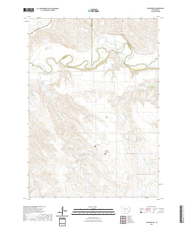
2021 Stamford SE
Mellette County, SD
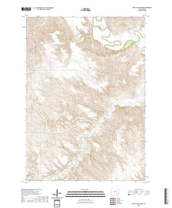
2021 West of Westover
Mellette County, SD
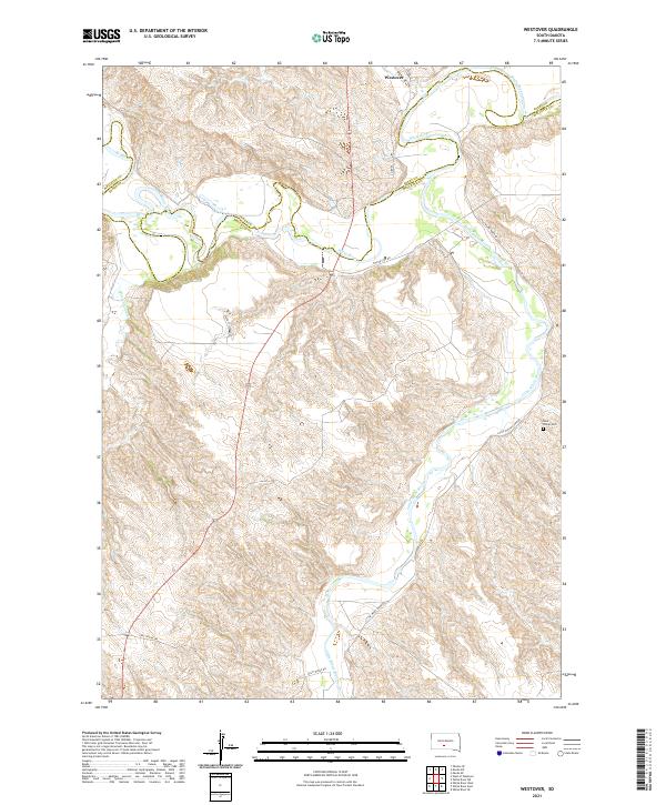
2021 Westover
Mellette County, SD

2021 White River East
Mellette County, SD
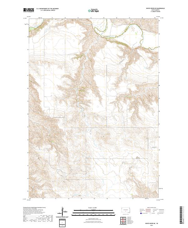
2021 White River NE
Mellette County, SD
2021 White River SE
Mellette County, SD

2021 White River West
Mellette County, SD
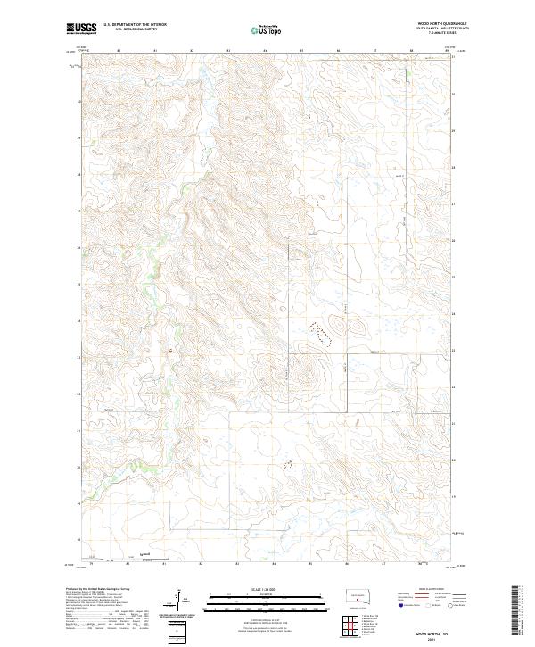
2021 Wood North
Mellette County, SD
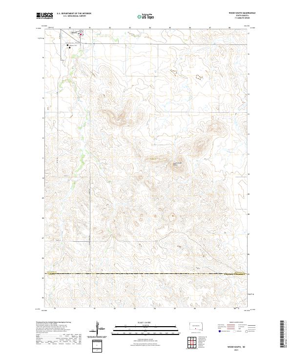
2021 Wood South
Mellette County, SD