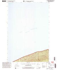
1999 Map of Nighthawk Creek
USGS Topo · Published 2004About this map
Lake Superior dominates this northern Michigan landscape, its vast blue expanse meeting a narrow strip of coastal woodland near the turn of the millennium. The shoreline is characterized by the Ottawa National Forest, where the terrain rises sharply from the water's edge into a series of ridges and valleys. Drainage across this forested belt is provided by Nighthawk Creek, which cuts through the southern portion of the map. Access to this quiet stretch of the Upper Peninsula is limited to the Bessemer Ranger District Road, a administrative forest route that traces the contour of the land. This survey captures the area just as the Forest Service was refining its management boundaries, providing a clear record of the interface between the Great Lakes and federal timberlands.
Find a feature on this map
4 named features on this map. Tap any name to fly to it.
Don’t see what you’re looking for? This feature index may not catch every label — zoom into the map to look around manually.
Map Details
Editions of this 1999 Nighthawk Creek Map
This is the sole edition of this map. No revisions or reprints were ever made.
Other maps of this area

1943 · Little Girls Point
USGS Topo · 1:24,000

1943 · Little Girl Point
USGS Topo · 1:48,000

1953 · Ashland
USGS Topo · 1:250,000

1956 · North Ironwood
USGS Topo · 1:62,500
1956 · Little Girls Point
USGS Topo · 1:62,500

1958 · Ashland
USGS Topo · 1:250,000
1980 · Little Girls Point
USGS Topo · 1:24,000
1980 · Black River Harbor
USGS Topo · 1:25,000
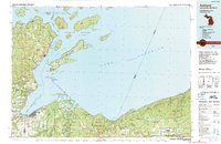
1989 · Ashland
USGS Topo · 1:100,000
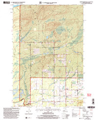
1999 · North Ironwood
USGS Topo · 1:24,000