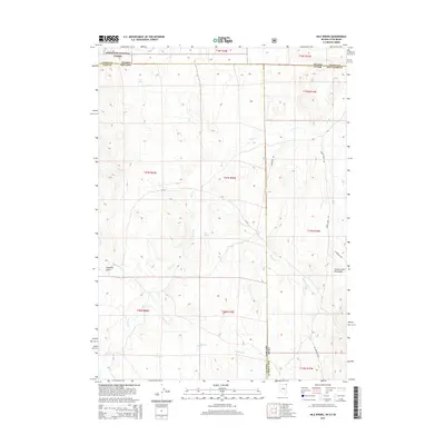
2015 Map of Nile Spring
USGS Topo · Published 2015About this map
Nile Spring sits at the heart of this high-desert intersection where the borders of Utah, Nevada, and Idaho meet. The landscape is defined by the drainage systems of the Goose Creek Mountains, with Goose Creek winding through the central basin and receiving several tributaries including Hardesty Creek and Meadow Creek. To the northwest, the map documents a portion of the Sawtooth National Forest, providing a look at the federal land management boundaries that shape the region's ranching and recreational use.
Find a feature on this map
30 named features on this map. Tap any name to fly to it.
Don’t see what you’re looking for? This feature index may not catch every label — zoom into the map to look around manually.
Map Details
Editions of this 2015 Nile Spring Map
This is the sole edition of this map. No revisions or reprints were ever made.
Other maps of this area

1954 · Pocatello
USGS Topo · 1:250,000

1954 · Brigham City
USGS Topo · 1:250,000

1955 · Twin Falls
USGS Topo · 1:250,000

1955 · Wells
USGS Topo · 1:250,000

1958 · Wells
USGS Topo · 1:250,000

1958 · Twin Falls
USGS Topo · 1:250,000

1958 · Pocatello
USGS Topo · 1:250,000

1958 · Brigham City
USGS Topo · 1:250,000

1959 · Cotton Thomas Basin
USGS Topo · 1:62,500

1961 · Wells
USGS Topo · 1:250,000