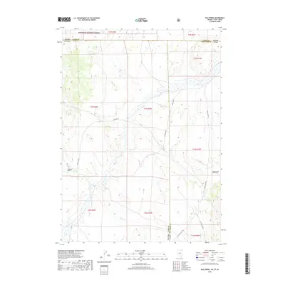
2018 Map of Nile Spring
USGS Topo · Published 2018About this map
The high desert landscape of the Great Basin meets the northern highlands at the intersection of Nevada, Utah, and Idaho. This 2018 survey reveals a terrain defined by the Goose Creek Mountains and the winding course of Goose Cr, where water sources like Nile Spring and Mud Spring provided critical anchors in an arid region. The map captures the northernmost reaches of Nevada's Elko County and Utah's Box Elder County as they transition into the Sawtooth National Forest. A network of backcountry routes, including Goose Creek Rd and Hardesty Rd, traces the drainage patterns of Fivemile Gulch and Meadow Cr. This map is a record of land use in a remote tri-state corner, showing the enduring importance of these springs and creek beds for navigation and settlement in the high country.
Find a feature on this map
28 named features on this map. Tap any name to fly to it.
Don’t see what you’re looking for? This feature index may not catch every label — zoom into the map to look around manually.
Map Details
Editions of this 2018 Nile Spring Map
This is the sole edition of this map. No revisions or reprints were ever made.
Other maps of this area

1954 · Pocatello
USGS Topo · 1:250,000

1954 · Brigham City
USGS Topo · 1:250,000

1955 · Twin Falls
USGS Topo · 1:250,000

1955 · Wells
USGS Topo · 1:250,000

1958 · Wells
USGS Topo · 1:250,000

1958 · Twin Falls
USGS Topo · 1:250,000

1958 · Pocatello
USGS Topo · 1:250,000

1958 · Brigham City
USGS Topo · 1:250,000

1959 · Cotton Thomas Basin
USGS Topo · 1:62,500

1961 · Wells
USGS Topo · 1:250,000