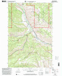
2000 Map of Nile
USGS Topo · Published 2001About this map
The Naches River corridor defines the geography of this Yakima County landscape, where the small settlement of Nile serves as a focal point along Nile Road. This 2000 revision, updated by the USDA Forest Service, highlights a transition between managed wilderness and local ranching interests, such as the Cheney Ranch. The terrain is marked by prominent landforms like Eagle Rock and the high elevation of Bethel Ridge and Rattlesnake Ridge.
Find a feature on this map
33 named features on this map. Tap any name to fly to it.
Don’t see what you’re looking for? This feature index may not catch every label — zoom into the map to look around manually.
Map Details
Editions of this 2000 Nile Map
This is the sole edition of this map. No revisions or reprints were ever made.
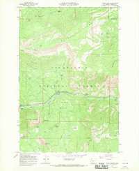
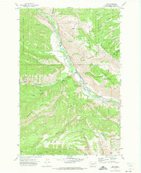
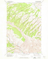
Other maps of this area

1899 · Ellensburg
USGS Topo · 1:125,000

1901 · Ellensburg
USGS Topo · 1:125,000

1902 · Mount Aix
USGS Topo · 1:125,000

1904 · Mt Aix
USGS Topo · 1:125,000

1950 · Yakima
USGS Topo · 1:250,000

1958 · Yakima
USGS Topo · 1:250,000

1961 · Yakima
USGS Topo · 1:250,000
1967 · Tieton Basin
USGS Topo · 1:24,000
1971 · Nile
USGS Topo · 1:24,000
1971 · Milk Canyon
USGS Topo · 1:24,000