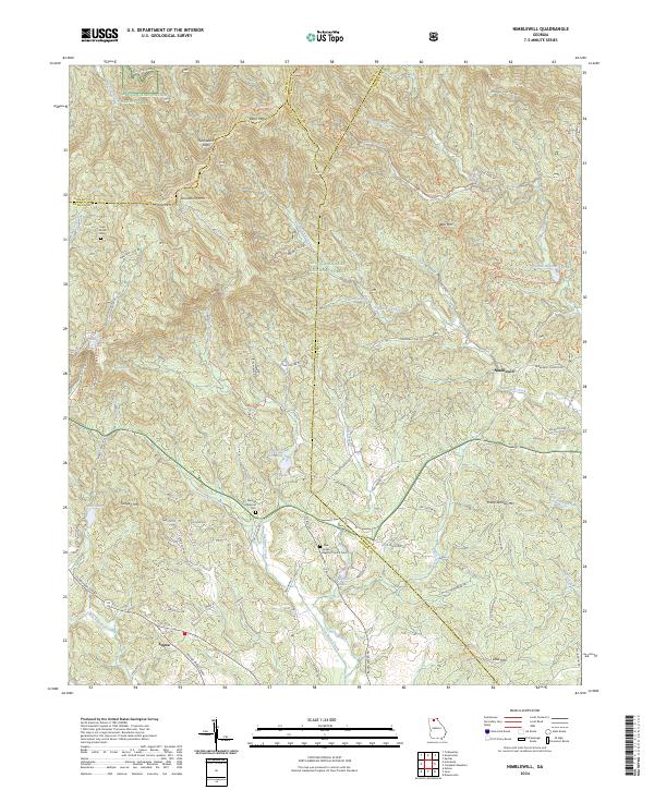
2024 Map of Nimblewill
USGS Topo · Published 2024About this map
Nimblewill sits at the base of the Blue Ridge foothills, where the Chattahoochee National Forest meets the settled valleys of northern Georgia. The landscape is defined by its verticality, rising from the waters of Cochrans Creek and Nimblewill Creek to the high points of Bull Mountain and Amicalola Mtn. Notable for outdoor heritage, this area marks a significant transit point for the Appalachian National Scenic Trail and the associated Appalachian Approach Trl.
Find a feature on this map
78 named features on this map. Tap any name to fly to it.
Don’t see what you’re looking for? This feature index may not catch every label — zoom into the map to look around manually.
Map Details
Editions of this 2024 Nimblewill Map
This is the sole edition of this map. No revisions or reprints were ever made.
Other maps of this area

1888 · Ellijay
USGS Topo · 1:125,000

1890 · Suwanee
USGS Topo · 1:125,000

1892 · Ellijay
USGS Topo · 1:125,000

1894 · Suwanee
USGS Topo · 1:125,000

1898 · Ellijay
USGS Topo · 1:125,000

1911 · Ellijay
USGS Topo · 1:125,000

1926 · Tate
USGS Topo · 1:62,500

1928 · Tate
USGS Topo · 1:62,500

1935 · Noontootla
USGS Topo · 1:24,000

1935 · Tickanetley
USGS Topo · 1:24,000