Loading...
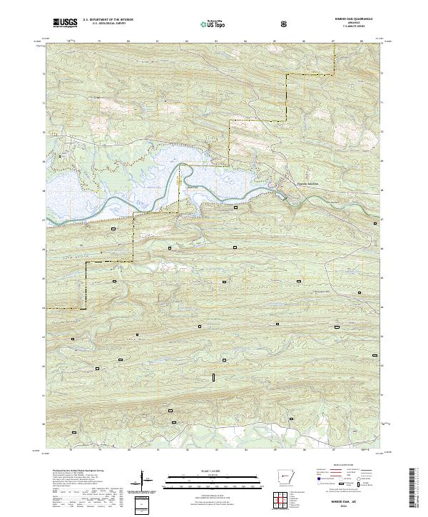
Loading map...2024 Map of Nimrod
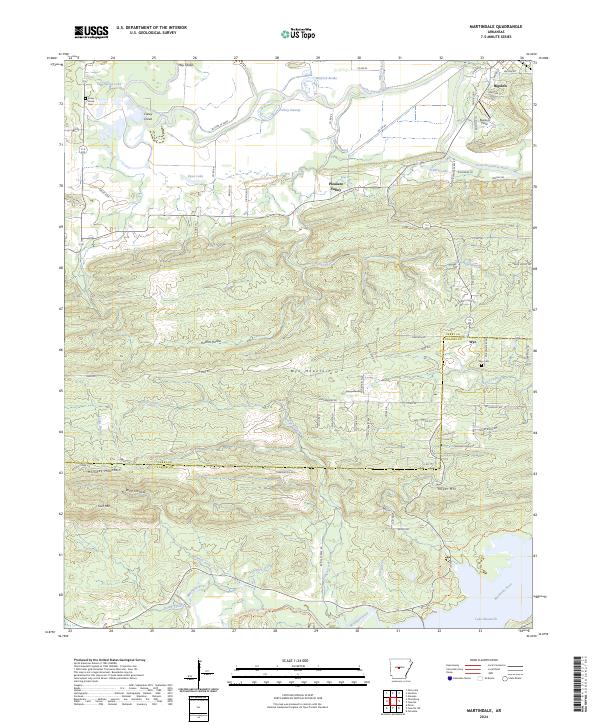
USGS Topo · Published 2024About this map
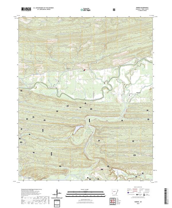
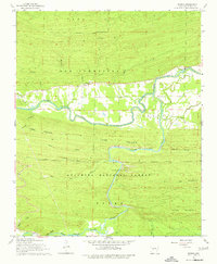
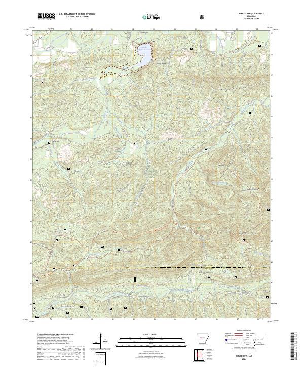
The Fourche LaFave River meanders across this Perry County landscape, marking the northern transition into the Ouachita National Forest. Small settlements like Nimrod and Deberrie dot the valley floor, connected by a network of rural roads such as Deberrie Rd and Wallace Bridge Rd. Genealogists will find several family-named burial sites, including the Nimrod Cem, Garland Cem, and Deberrie Cem, which provide historical touchpoints for the area's early residents.
Find a feature on this map
54 named features on this map. Tap any name to fly to it.
Don’t see what you’re looking for? This feature index may not catch every label — zoom into the map to look around manually.
Map Details
Date Portrayed2024
Date Published2024
PublisherU.S. Geological Survey
Map TypeTopographic
Scale1:24000
Physical Dimensions24 x 29 inches
Editions of this 2024 Nimrod Map
This is the sole edition of this map. No revisions or reprints were ever made.
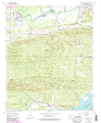
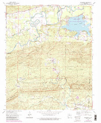
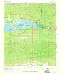
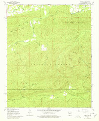
Historical Maps of Deberrie Through Time
10 maps found
Featured Locations
Source Details
SourceU.S. Geological Survey
CopyrightPublic Domain