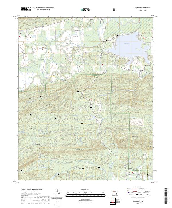
2024 Map of Thornburg
USGS Topo · Published 2024About this map
Thornburg and the surrounding Arkansas hillsides reflect a landscape shaped by both public forest management and quiet rural crossroads. Situated within the Ouachita National Forest, the terrain is defined by prominent peaks like Long Mtn and Link Mountain, with Sausmann Falls marking a distinctive point along the southern drainage into the Maumelle River. This survey illustrates the settlement pattern in the eastern Ozark foothills, where small communities like Harmony and Satuma sit alongside long-standing family landmarks such as Millie Bluff and Slaty Bluff. The large expanse of Harris Brake dominates the northeastern corner, providing a contrast to the narrow, winding corridors of the Fourche LaFave River. For genealogists, several local burial grounds are documented, including Antioch Cem, Hope Cem, and Tyndall Cem, which anchor the history of these upland townships.
Find a feature on this map
86 named features on this map. Tap any name to fly to it.
Don’t see what you’re looking for? This feature index may not catch every label — zoom into the map to look around manually.
Map Details
Editions of this 2024 Thornburg Map
This is the sole edition of this map. No revisions or reprints were ever made.
Other maps of this area

1889 · Morrilton No. 3
USGS Topo · 1:62,500

1890 · Benton
USGS Topo · 1:125,000

1892 · Morrillton
USGS Topo · 1:125,000

1894 · Morrillton
USGS Topo · 1:125,000

1894 · Benton
USGS Topo · 1:125,000

1955 · Little Rock
USGS Topo · 1:250,000

1956 · Little Rock
USGS Topo · 1:250,000

1956 · Russellville
USGS Topo · 1:250,000

1960 · Little Rock
USGS Topo · 1:250,000

1961 · Perryville
USGS Topo · 1:24,000