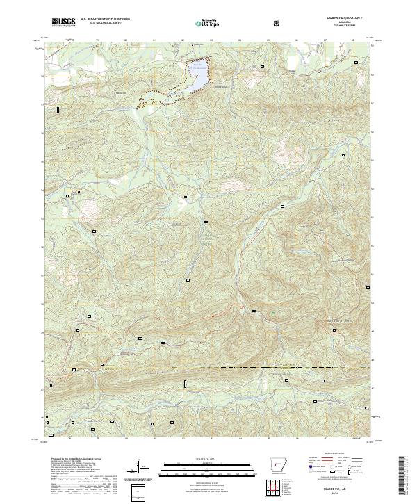
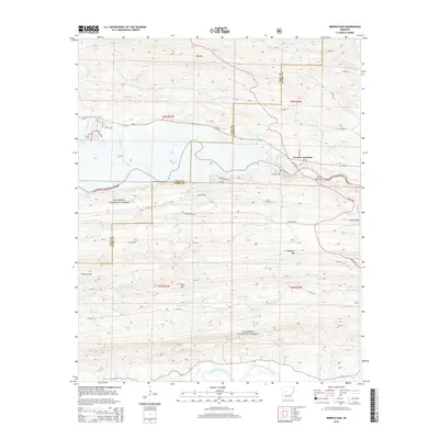
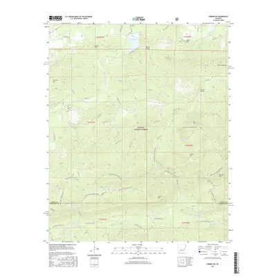
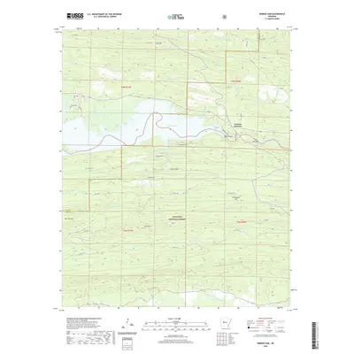
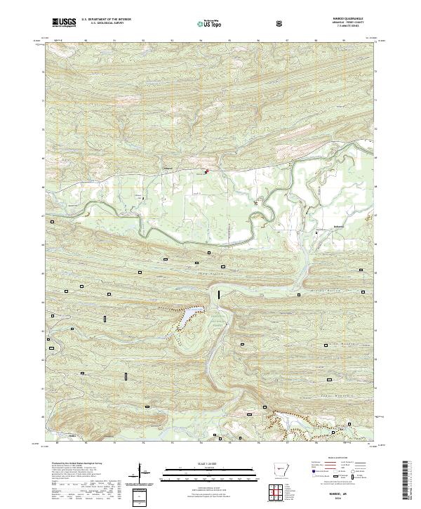
2024 Map of Nimrod SW
USGS Topo · Published 2024About this map
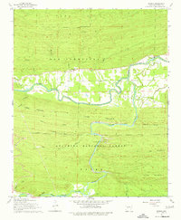
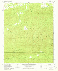
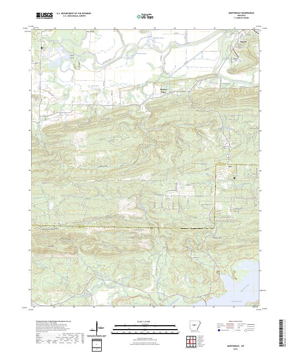
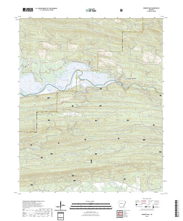
The Ouachita National Forest blankets this portion of the Arkansas interior, where the South Fourche LaFave River and the North Fork Ouachita River frame a landscape defined by significant ridges. The area is marked by prominent high ground including Dry Fork Mountain, Bear Creek Mountain, and the Roland Divide, which separates the northern and southern drainage basins.
Find a feature on this map
67 named features on this map. Tap any name to fly to it.
Don’t see what you’re looking for? This feature index may not catch every label — zoom into the map to look around manually.
Map Details
Editions of this 2024 Nimrod SW Map
This is the sole edition of this map. No revisions or reprints were ever made.
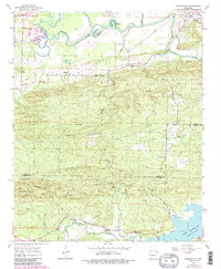
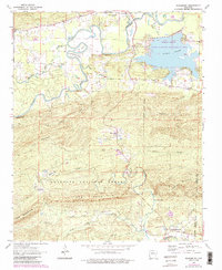
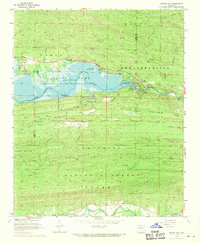
Historical Maps of Ava Through Time
30 maps found
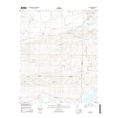
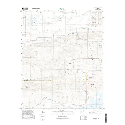
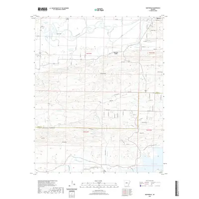
1963 Martindale
Perry County, AR
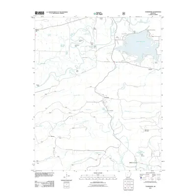
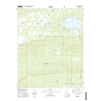
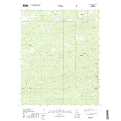
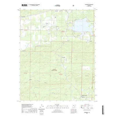
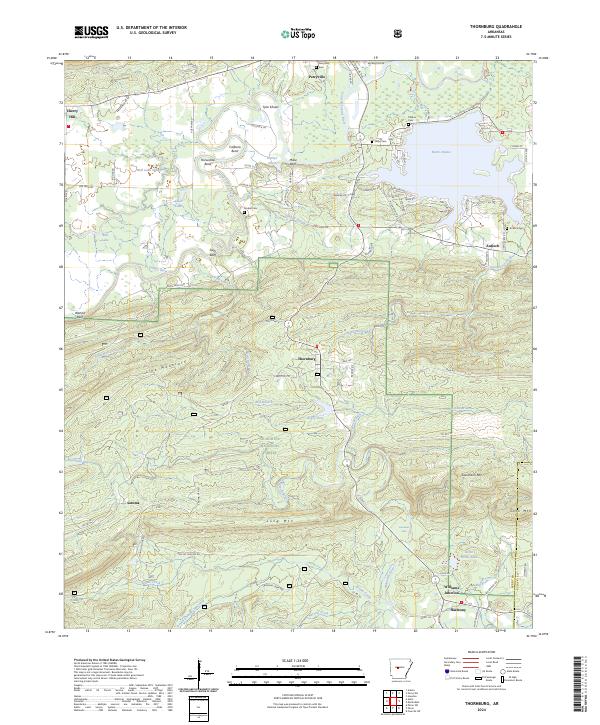
1963 Thornburg
Perry County, AR
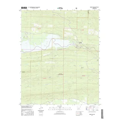
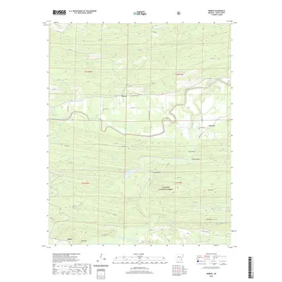
1968 Nimrod Dam
Perry County, AR
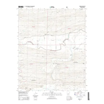
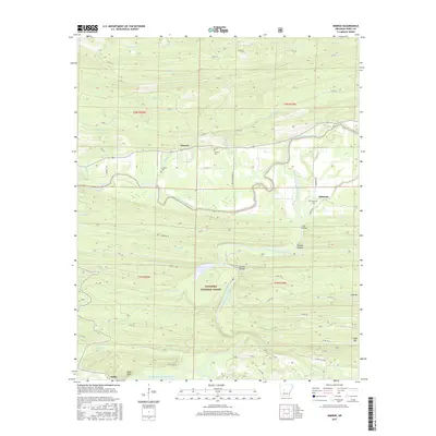
1968 Nimrod
Perry County, AR
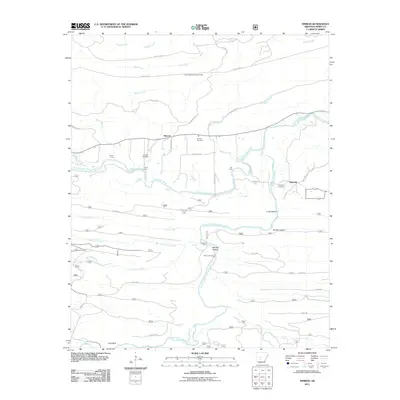
1968 Nimrod SW
Perry County, AR
2011 Martindale
Perry County, AR
2011 Nimrod Dam
Perry County, AR
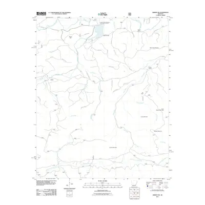
2011 Nimrod
Perry County, AR
2011 Nimrod SW
Perry County, AR
2011 Thornburg
Perry County, AR
2014 Martindale
Perry County, AR
2014 Nimrod Dam
Perry County, AR
2014 Nimrod
Perry County, AR
2014 Nimrod SW
Perry County, AR
2014 Thornburg
Perry County, AR
2017 Martindale
Perry County, AR
2017 Nimrod Dam
Perry County, AR
2017 Nimrod
Perry County, AR
2017 Nimrod SW
Perry County, AR
2017 Thornburg
Perry County, AR
2020 Martindale
Perry County, AR
2020 Nimrod Dam
Perry County, AR
2020 Nimrod
Perry County, AR
2020 Nimrod SW
Perry County, AR
2020 Thornburg
Perry County, AR
2024 Martindale
Perry County, AR
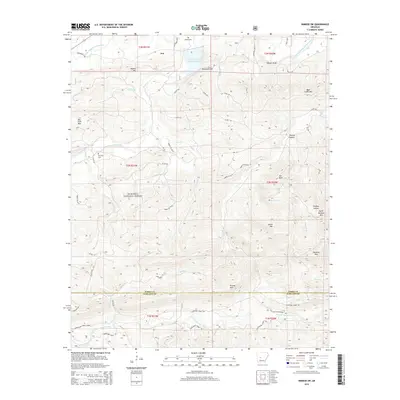
2024 Nimrod Dam
Perry County, AR
2024 Nimrod
Perry County, AR
2024 Nimrod SW
Perry County, AR
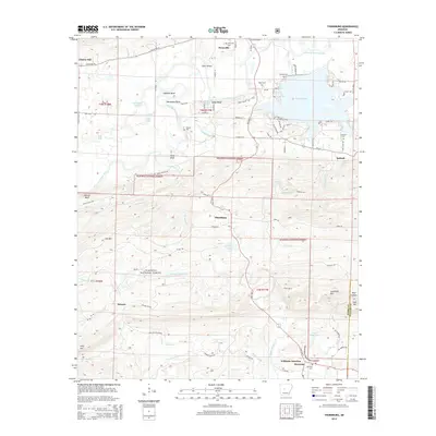
2024 Thornburg
Perry County, AR