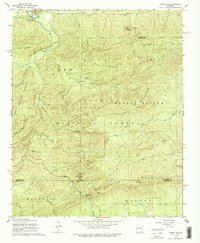
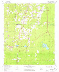
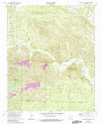
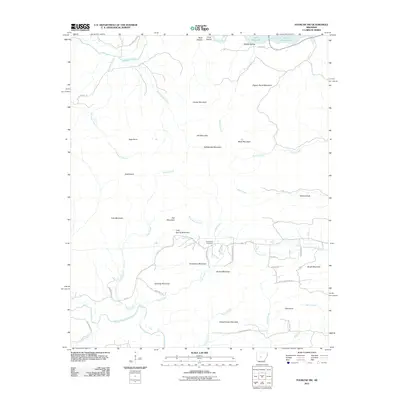
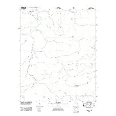
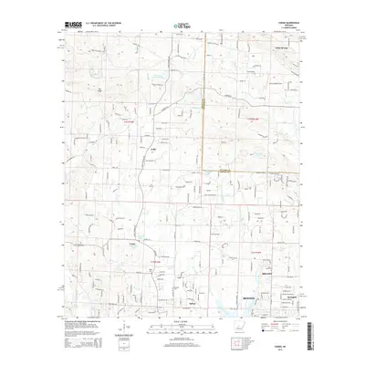
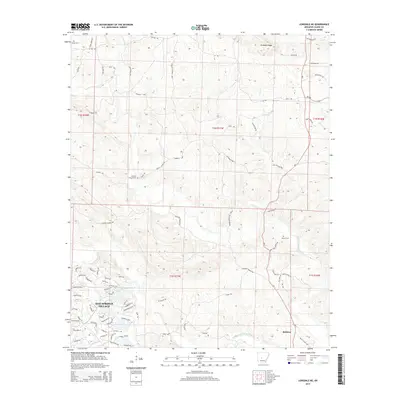
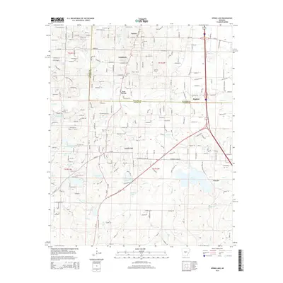
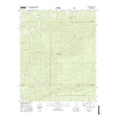
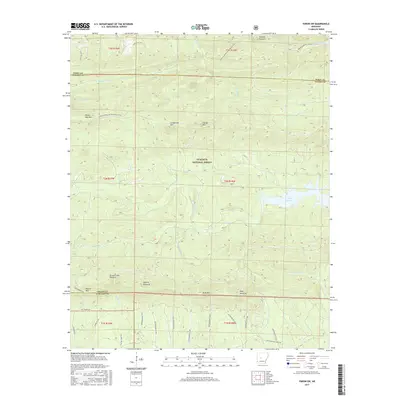
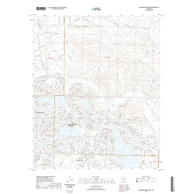
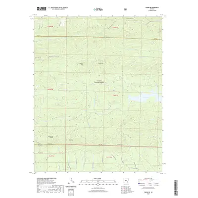
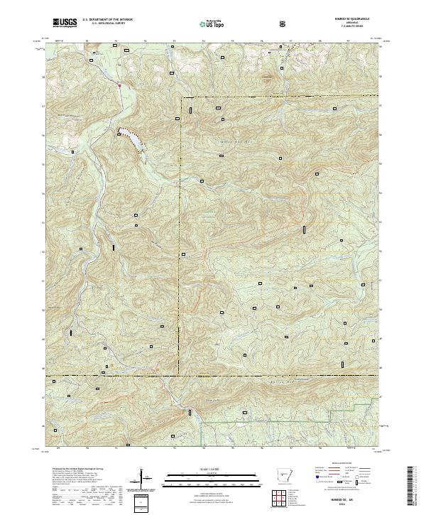
1968 Map of Nimrod SE
USGS Topo · Published 1968About this map
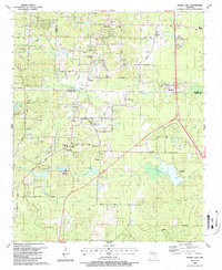
Ouachita National Forest dominates the landscape of this 1968 survey, where the borders of Perry, Saline, and Garland counties meet. The northern edge follows the Fourche La Fave River, passing the settlement of Hollis and the Goat Bluff Cem. The terrain is defined by series of prominent ridges, including Tyler Mountain and Walnut Bottom Mountain, separated by a dense network of watercourses such as Bear Creek and North Fork Alum Creek.
Find a feature on this map
44 named features on this map. Tap any name to fly to it.
Don’t see what you’re looking for? This feature index may not catch every label — zoom into the map to look around manually.
Map Details
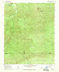
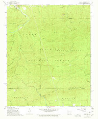
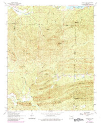
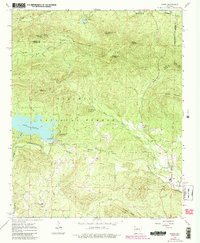
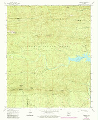
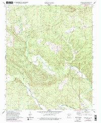
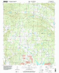
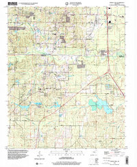
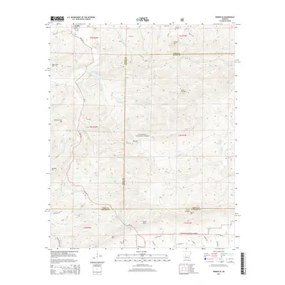
Editions of this 1968 Nimrod SE Map
4 editions found
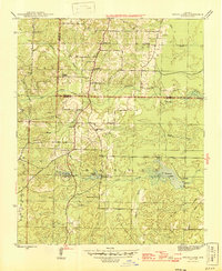
Historical Maps of Hollis Through Time
58 maps found
1944 Spring Lake
Saline County, AR
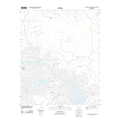
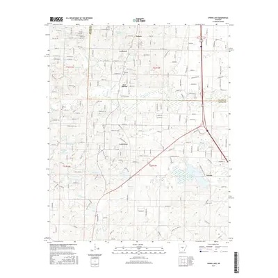
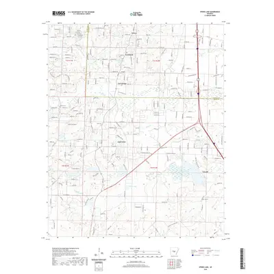
1954 Spring Lake
Saline County, AR
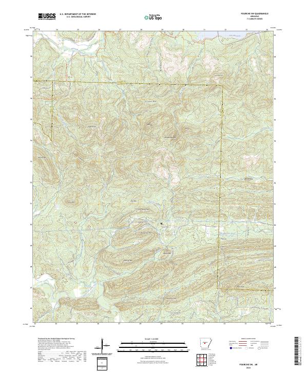
1963 Fourche SW
Saline County, AR
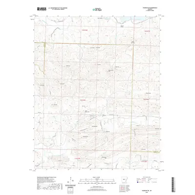
1963 Paron
Saline County, AR
1963 Paron SW
Saline County, AR

1968 Nimrod SE
Saline County, AR
1972 Goosepond Mountain
Saline County, AR
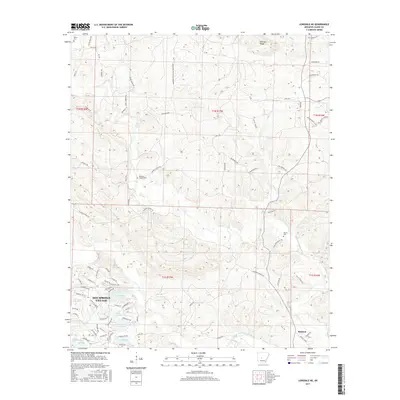
1972 Lonsdale NE
Saline County, AR
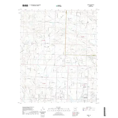
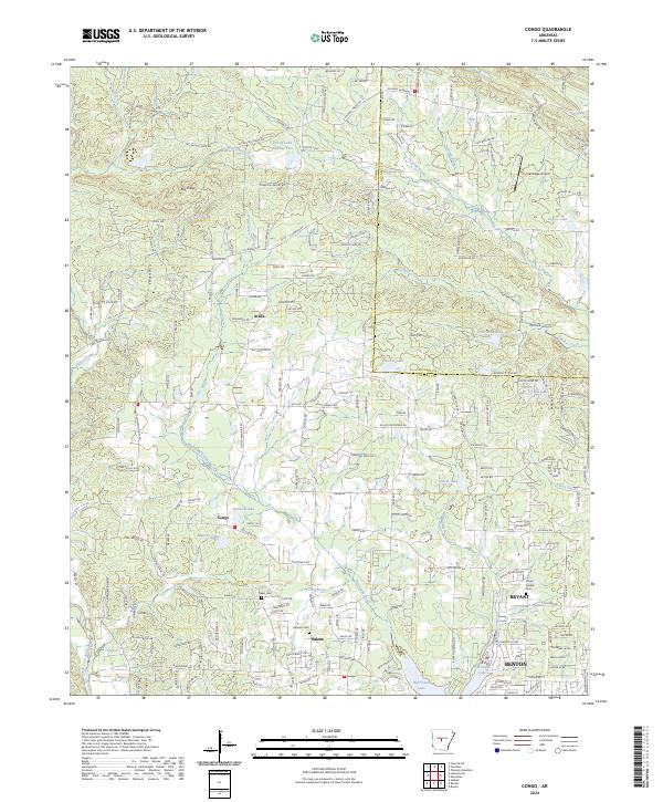
1974 Congo
Saline County, AR
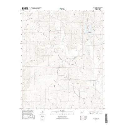
1974 Lake Norrell
Saline County, AR
1987 Spring Lake
Saline County, AR
1994 Congo
Saline County, AR
1994 Spring Lake
Saline County, AR
2011 Congo
Saline County, AR
2011 Fourche SW
Saline County, AR
2011 Goosepond Mountain
Saline County, AR
2011 Lake Norrell
Saline County, AR
2011 Lonsdale NE
Saline County, AR
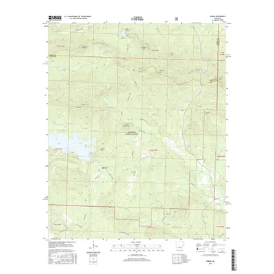
2011 Nimrod SE
Saline County, AR
2011 Paron
Saline County, AR
2011 Paron SW
Saline County, AR
2011 Spring Lake
Saline County, AR
2014 Congo
Saline County, AR
2014 Fourche SW
Saline County, AR
2014 Goosepond Mountain
Saline County, AR
2014 Lake Norrell
Saline County, AR
2014 Lonsdale NE
Saline County, AR
2014 Nimrod SE
Saline County, AR
2014 Paron
Saline County, AR
2014 Paron SW
Saline County, AR
2014 Spring Lake
Saline County, AR
2017 Congo
Saline County, AR
2017 Fourche SW
Saline County, AR
2017 Goosepond Mountain
Saline County, AR
2017 Lake Norrell
Saline County, AR
2017 Lonsdale NE
Saline County, AR
2017 Nimrod SE
Saline County, AR
2017 Paron
Saline County, AR
2017 Paron SW
Saline County, AR
2017 Spring Lake
Saline County, AR
2020 Congo
Saline County, AR
2020 Fourche SW
Saline County, AR
2020 Goosepond Mountain
Saline County, AR
2020 Lake Norrell
Saline County, AR
2020 Lonsdale NE
Saline County, AR

2020 Nimrod SE
Saline County, AR
2020 Paron
Saline County, AR
2020 Paron SW
Saline County, AR
2020 Spring Lake
Saline County, AR
2024 Congo
Saline County, AR
2024 Fourche SW
Saline County, AR
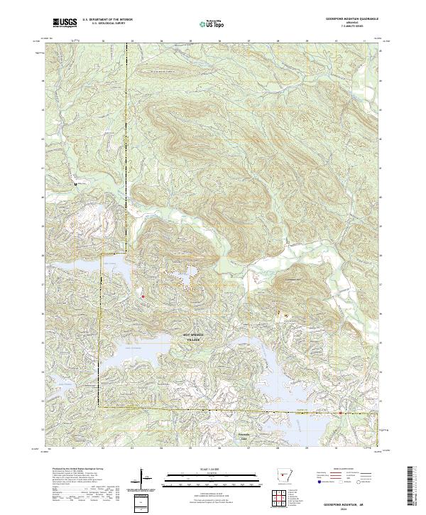
2024 Goosepond Mountain
Saline County, AR
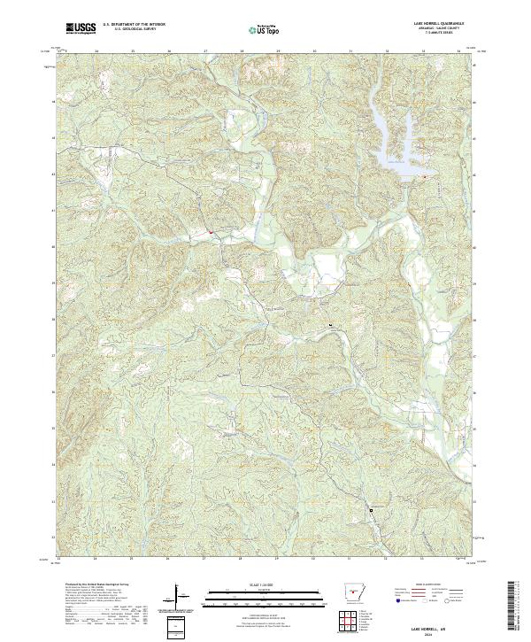
2024 Lake Norrell
Saline County, AR
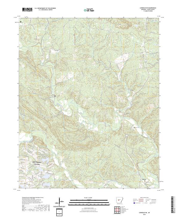
2024 Lonsdale NE
Saline County, AR
2024 Nimrod SE
Saline County, AR
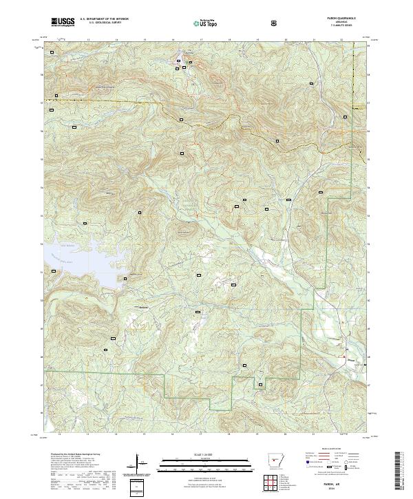
2024 Paron
Saline County, AR
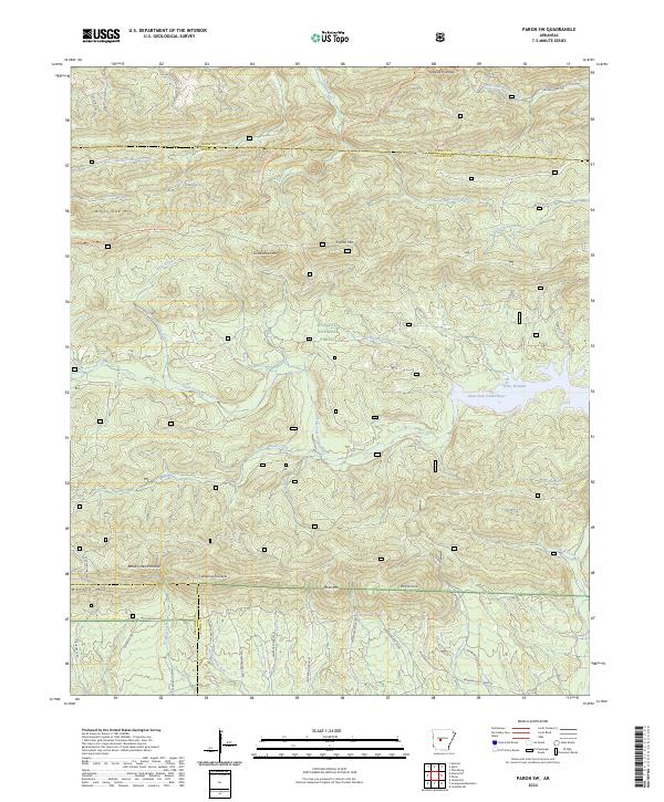
2024 Paron SW
Saline County, AR
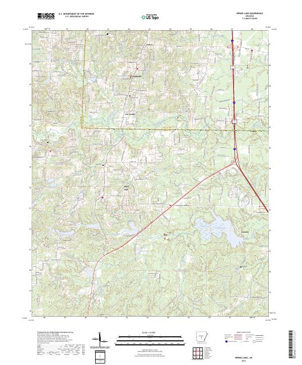
2024 Spring Lake
Saline County, AR