
1963 Map of Paron SW
USGS Topo · Published 1964About this map
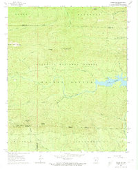
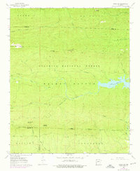
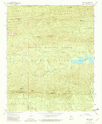
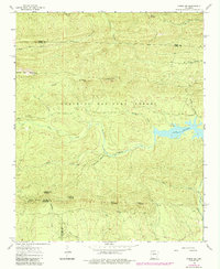
The Ouachita National Forest dominates this topographic study of central Arkansas, where the landscape is defined by the converging drainages of the North Fork Saline R and Alum Fork. At the center of the sheet, the expansive Walnut Bottom lowlands are framed by a series of distinct peaks including White Oak Mountain, Grindstone Mtn, and Crystal Mtn. This 1963 field-checked survey provides an essential look at the region's hydrography just as Lake Winona was a settled fixture of the terrain.
Find a feature on this map
35 named features on this map. Tap any name to fly to it.
Don’t see what you’re looking for? This feature index may not catch every label — zoom into the map to look around manually.
Map Details
Editions of this 1963 Paron SW Map
5 editions found
Other maps of this area

1890 · Benton
USGS Topo · 1:125,000

1890 · Hot Springs
USGS Topo · 1:125,000

1894 · Hot Springs
USGS Topo · 1:125,000

1894 · Benton
USGS Topo · 1:125,000

1955 · Little Rock
USGS Topo · 1:250,000

1956 · Little Rock
USGS Topo · 1:250,000

1960 · Little Rock
USGS Topo · 1:250,000
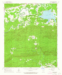
1963 · Thornburg
USGS Topo · 1:24,000
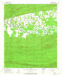
1963 · Aplin
USGS Topo · 1:24,000

1963 · Paron
USGS Topo · 1:24,000