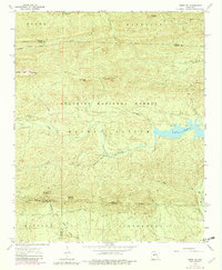
1963 Map of Paron SW
USGS Topo · Published 1982About this map
Ouachita National Forest blankets this interior Arkansas landscape, where the ridges of the Ouachita Mountains are defined by several prominent peaks and pinnacles. The Alum Fork Saline River is a central waterway, feeding into the eastern expanse of Lake Winona. The topography is marked by significant elevations like Flatside Pinnacle, Crystal Mtn, and White Oak Mountain, while the low-lying Walnut Bottom provides a rare level area along the river's bend. Numerous seasonal and perennial streams, including Stillhouse Creek and Bread Creek, dissect the terrain. This 1963 survey, updated with 1975 aerial photography, reveals a wilderness largely devoid of major settlements, characterized instead by its complex drainage patterns and the isolated heights of Wolf Pinnacle and Angling Pinnacle.
Find a feature on this map
34 named features on this map. Tap any name to fly to it.
Don’t see what you’re looking for? This feature index may not catch every label — zoom into the map to look around manually.
Map Details
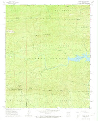
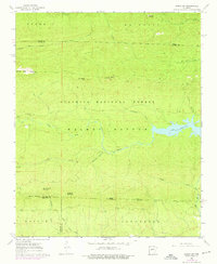
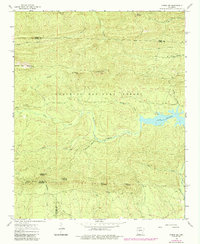
Editions of this 1963 Paron SW Map
5 editions found
Other maps of this area

1890 · Benton
USGS Topo · 1:125,000

1890 · Hot Springs
USGS Topo · 1:125,000

1894 · Hot Springs
USGS Topo · 1:125,000

1894 · Benton
USGS Topo · 1:125,000

1955 · Little Rock
USGS Topo · 1:250,000

1956 · Little Rock
USGS Topo · 1:250,000

1960 · Little Rock
USGS Topo · 1:250,000

1963 · Paron SW
USGS Topo · 1:24,000
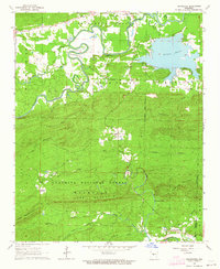
1963 · Thornburg
USGS Topo · 1:24,000
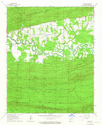
1963 · Aplin
USGS Topo · 1:24,000