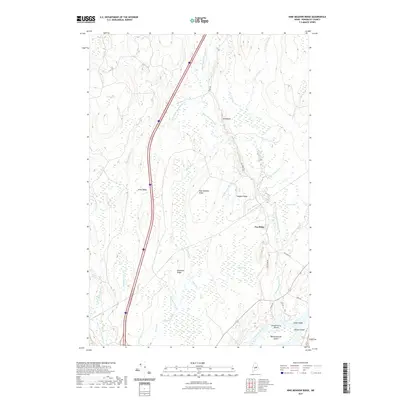
2021 Map of Nine Meadow Ridge
USGS Topo · Published 2021About this map
Penobscot River frontage and a series of distinct glacial ridges define this portion of Penobscot County. The landscape is characterized by its complex hydrography, where the Medunkeunk Stream and numerous tributaries like Nine Meadow Brook and S Br Medunkeunk Stream wind through low-lying wetlands. Named bogs, including Stinking Bog, Keene Bog, and Eighteen Bog, fill the depressions between elevations such as Nine Meadow Ridge and Pea Ridge.
Find a feature on this map
38 named features on this map. Tap any name to fly to it.
Don’t see what you’re looking for? This feature index may not catch every label — zoom into the map to look around manually.
Map Details
Editions of this 2021 Nine Meadow Ridge Map
This is the sole edition of this map. No revisions or reprints were ever made.
Other maps of this area

1920 · Winn
USGS Topo · 1:62,500

1940 · Mattawamkeag
USGS Topo · 1:62,500

1942 · Lincoln
USGS Topo · 1:62,500

1942 · Mattawamkeag
USGS Topo · 1:62,500

1951 · Millinocket
USGS Topo · 1:62,500

1954 · Millinocket
USGS Topo · 1:250,000

1957 · Lincoln
USGS Topo · 1:62,500

1958 · Millinocket
USGS Topo · 1:250,000

1960 · Millinocket
USGS Topo · 1:250,000
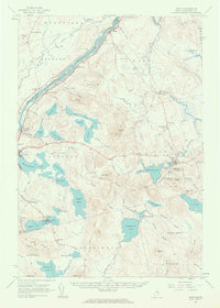
1960 · Winn
USGS Topo · 1:62,500