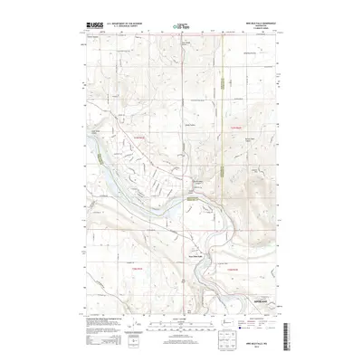
2014 Map of Nine Mile Falls
USGS Topo · Published 2014About this map
The Spokane River flows through a landscape defined by deep canyons and flat prairie plateaus just northwest of Spokane. The terrain is shaped by the confluence of the river with the Little Spokane River and the expansive Nine Mile Reservoir, which transitions into Long Lake as it moves westward. The community of Nine Mile Falls serves as a focal point along the riverbanks, where the steep elevation drops are evidenced by names like Pine Bluff and Lookout Mtn.
Find a feature on this map
105 named features on this map. Tap any name to fly to it.
Don’t see what you’re looking for? This feature index may not catch every label — zoom into the map to look around manually.
Map Details
Editions of this 2014 Nine Mile Falls Map
This is the sole edition of this map. No revisions or reprints were ever made.
Other maps of this area

1901 · Spokane
USGS Topo · 1:125,000

1943 · Medical Lake
USGS Topo · 1:62,500

1944 · Clayton
USGS Topo · 1:62,500

1949 · Deer Park
USGS Topo · 1:62,500

1950 · Spokane NW
USGS Topo · 1:24,000

1950 · Spokane
USGS Topo · 1:62,500

1950 · Clayton
USGS Topo · 1:62,500

1951 · Deer Park
USGS Topo · 1:62,500

1954 · Airway Heights
USGS Topo · 1:24,000

1954 · Medical Lake
USGS Topo · 1:62,500