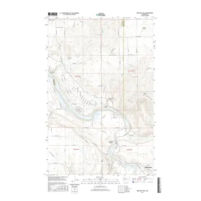
2017 Map of Nine Mile Falls
USGS Topo · Published 2017About this map
Nine Mile Falls marks a significant hydrological and community center along the border of Spokane and Stevens counties. The landscape is defined by the convergence of the Little Spokane River and the waters of Nine Mile Reservoir, which feed into the eastern reaches of Long Lake. This 2017 survey details the complex terrain of the region, from the broad, open expanse of Wild Rose Prairie in the northeast to the steep-walled Barney Coker Canyon and Holmes Canyon to the west. Local landforms like Lookout Mtn and Pine Bluff provide topographical focal points amidst a network of rural roads such as W Ridgeway Rd and W Whitmore Rd. The map illustrates how residential development and recreation centers around the river system, contrasting with the more secluded draws of Little Sandy Canyon and Sandy Canyon north of the reservoir.
Find a feature on this map
103 named features on this map. Tap any name to fly to it.
Don’t see what you’re looking for? This feature index may not catch every label — zoom into the map to look around manually.
Map Details
Editions of this 2017 Nine Mile Falls Map
This is the sole edition of this map. No revisions or reprints were ever made.
Other maps of this area

1901 · Spokane
USGS Topo · 1:125,000

1943 · Medical Lake
USGS Topo · 1:62,500

1944 · Clayton
USGS Topo · 1:62,500

1949 · Deer Park
USGS Topo · 1:62,500

1950 · Spokane NW
USGS Topo · 1:24,000

1950 · Spokane
USGS Topo · 1:62,500

1950 · Clayton
USGS Topo · 1:62,500

1951 · Deer Park
USGS Topo · 1:62,500

1954 · Airway Heights
USGS Topo · 1:24,000

1954 · Medical Lake
USGS Topo · 1:62,500