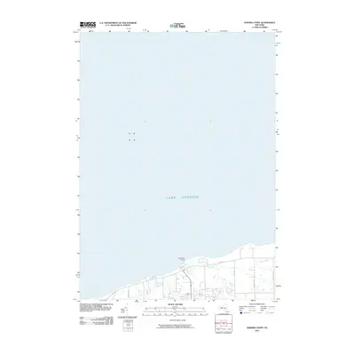
2010 Map of Ninemile Point
USGS Topo · Published 2010About this map
Lake Ontario dominates the northern half of this coastal survey, where the shoreline is defined by the prominent landform at Ninemile Point. The landscape reflects a suburban and rural mix typical of the early twenty-first century, with development following established corridors like Lake Rd and Salt Rd. Several waterways, including Mill Creek, Fourmile Creek, and Deer Creek, drain the coastal shelf toward the lake. Local history is anchored by Union Cemetery, located just south of the lakefront near Sagebrook Way. The map provides a clear picture of the residential expansion in the town of Webster, showing how modern neighborhoods have integrated with the older road network and the natural hydrology of the Monroe County shoreline.
Find a feature on this map
14 named features on this map. Tap any name to fly to it.
Don’t see what you’re looking for? This feature index may not catch every label — zoom into the map to look around manually.
Map Details
Editions of this 2010 Ninemile Point Map
This is the sole edition of this map. No revisions or reprints were ever made.
Other maps of this area

1895 · Rochester
USGS Topo · 1:62,500

1895 · Ontario Beach
USGS Topo · 1:62,500

1898 · Rochester
USGS Topo · 1:62,500

1899 · Ontario Beach
USGS Topo · 1:62,500

1900 · Macedon
USGS Topo · 1:62,500

1912 · Rochester
USGS Topo · 1:62,500

1912 · Ontario Beach
USGS Topo · 1:62,500

1920 · Rochester
USGS Topo · 1:62,500

1931 · Rochester East
USGS Topo · 1:24,000

1932 · Webster
USGS Topo · 1:24,000