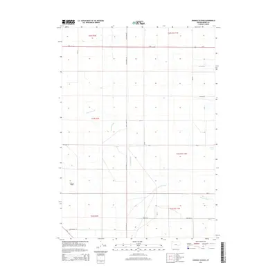
2014 Map of Ninemile Slough
USGS Topo · Published 2014About this map
Harney Valley dominates this high desert landscape, characterized by the winding course of Ninemile Slough as it threads through the basin. The map reveals a highly structured grid of section lines and local roads, many reflecting the naming conventions of rural life such as Rye Grass Ln and Cotton Tail Ln. The northern portion is bisected by the straight trajectory of Us-20, while the southern reaches are marked by the junction of Or-78 and South Harney Rd. Significant for water resource history in this arid region, the map also identifies Bennett Lake in the east. This 2014 survey serves as a detailed record of modern land divisions and drainage patterns in a remote part of Oregon's interior basin.
Find a feature on this map
25 named features on this map. Tap any name to fly to it.
Don’t see what you’re looking for? This feature index may not catch every label — zoom into the map to look around manually.
Map Details
Editions of this 2014 Ninemile Slough Map
This is the sole edition of this map. No revisions or reprints were ever made.
Other maps of this area

1955 · Burns
USGS Topo · 1:250,000

1958 · Burns
USGS Topo · 1:250,000

1959 · Burns
USGS Topo · 1:250,000

1959 · Harney
USGS Topo · 1:62,500

1959 · Lawen
USGS Topo · 1:62,500

1960 · Crane
USGS Topo · 1:62,500

1973 · Buchanan
USGS Topo · 1:24,000

1973 · Carson Point
USGS Topo · 1:24,000

1978 · Malheur Lake
USGS Topo · 1:100,000

1978 · Stinkingwater Mountains
USGS Topo · 1:100,000