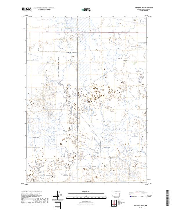
2023 Map of Ninemile Slough
USGS Topo · Published 2023About this map
Harney Valley is defined by an intricate network of wetlands and seasonal watercourses, most notably the meandering Ninemile Slough. This modern survey illustrates the persistent drainage patterns of this high-desert basin, where human presence is marked by a grid of rural lanes and remote landing facilities like Hooks Strip. The map detail follows the progression of agricultural development through family-named roads such as Hutchenson Ln and Ruhl Rd, which navigate the flat, saturated terrain between the various township and range boundaries. The landscape is characterized by its high water table, with numerous unnamed marshy pockets and channels that suggest a region deeply influenced by seasonal runoff and basin-floor hydrology. This topographic study serves as a clear record of the modern road network, including Crane Blvd and the Lawen-Harney Rd, as they interface with the natural flow of the slough system.
Find a feature on this map
25 named features on this map. Tap any name to fly to it.
Don’t see what you’re looking for? This feature index may not catch every label — zoom into the map to look around manually.
Map Details
Editions of this 2023 Ninemile Slough Map
This is the sole edition of this map. No revisions or reprints were ever made.
Other maps of this area

1955 · Burns
USGS Topo · 1:250,000

1958 · Burns
USGS Topo · 1:250,000

1959 · Burns
USGS Topo · 1:250,000

1959 · Harney
USGS Topo · 1:62,500

1959 · Lawen
USGS Topo · 1:62,500

1960 · Crane
USGS Topo · 1:62,500

1973 · Buchanan
USGS Topo · 1:24,000

1973 · Carson Point
USGS Topo · 1:24,000

1978 · Malheur Lake
USGS Topo · 1:100,000

1978 · Stinkingwater Mountains
USGS Topo · 1:100,000