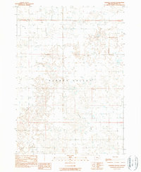
1990 Map of Ninemile Slough
USGS Topo · Published 1990About this map
Harney Valley is the focal point of this arid basin study in eastern Oregon, revealing a landscape defined by water management and drainage. The terrain is crisscrossed by an extensive network of human-made infrastructure designed to control seasonal runoff and support livestock, including numerous Check Dams and individual Check Dam installations. This intricate system of water control illustrates the challenges of ranching and land use in the high desert, where every drop of moisture is carefully directed.
Find a feature on this map
8 named features on this map. Tap any name to fly to it.
Don’t see what you’re looking for? This feature index may not catch every label — zoom into the map to look around manually.
Map Details
Editions of this 1990 Ninemile Slough Map
This is the sole edition of this map. No revisions or reprints were ever made.
Other maps of this area

1955 · Burns
USGS Topo · 1:250,000

1958 · Burns
USGS Topo · 1:250,000

1959 · Burns
USGS Topo · 1:250,000

1959 · Harney
USGS Topo · 1:62,500

1959 · Lawen
USGS Topo · 1:62,500

1960 · Crane
USGS Topo · 1:62,500

1973 · Buchanan
USGS Topo · 1:24,000

1973 · Carson Point
USGS Topo · 1:24,000

1978 · Malheur Lake
USGS Topo · 1:100,000

1978 · Stinkingwater Mountains
USGS Topo · 1:100,000