2010 Map of Ninemile Spring
USGS Topo · Published 2010About this map
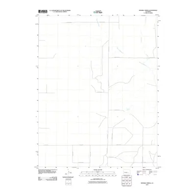
Ninemile Spring and its surrounding drainages define this portion of the Colorado landscape as it appeared in the early 21st century. The map reveals a strictly regulated grid of local transit, where County Road V, County Road U, and County Line 8 Z 10 segment the plains into expansive sections. This network of infrastructure is interrupted only by the natural, winding paths of Breckenridge Creek and Cramer Creek, which cut across the geometric lines of the county roads.
Find a feature on this map
15 named features on this map. Tap any name to fly to it.
Don’t see what you’re looking for? This feature index may not catch every label — zoom into the map to look around manually.
Map Details
Editions of this 2010 Ninemile Spring Map
This is the sole edition of this map. No revisions or reprints were ever made.
Other maps of this area

1889 · Sanborn
USGS Topo · 1:125,000

1891 · Sanborn
USGS Topo · 1:125,000

1891 · Catlin
USGS Topo · 1:125,000

1891 · Nepesta
USGS Topo · 1:125,000

1893 · Nepesta
USGS Topo · 1:125,000

1893 · Sanborn
USGS Topo · 1:125,000

1893 · Big Springs
USGS Topo · 1:125,000

1893 · Catlin
USGS Topo · 1:125,000

1904 · Nepesta
USGS Topo · 1:125,000

1954 · Lamar
USGS Topo · 1:250,000