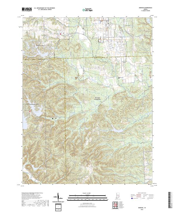
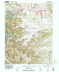
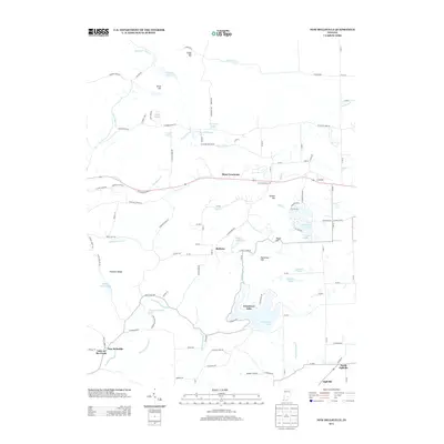
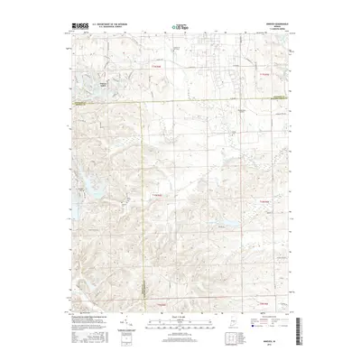
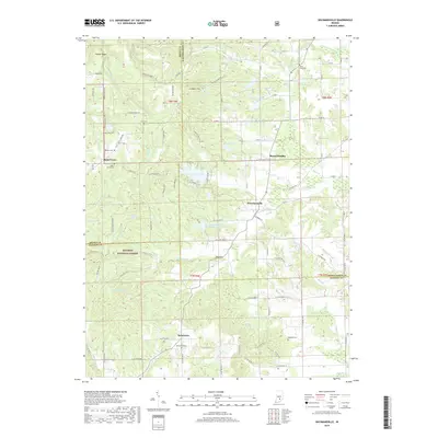
2022 Map of Nineveh
USGS Topo · Published 2022About this map
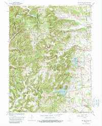
Princes Lakes and Cordry Sweetwater Lakes anchor a landscape defined by significant water management and residential lakeside development in this portion of south-central Indiana. The topography is dominated by the complex drainage systems of Nineveh Creek and Prince Creek, which feed into numerous named reservoirs such as Bell Lake, North Lake, and Carolyn Lake. Local genealogy and historical transit are traced through a network of rural roads like Miauxferry Road and several established burial grounds, including Old Nineveh Cemetery and Mount Moriah Cemetery. The presence of Himsel Army Airfield near the center of the sheet reflects the tactical or training utility of the terrain, while the sharp elevation changes near Renner Hill provide a contrast to the flatter agricultural reaches near the Bartholomew and Johnson county lines.
Find a feature on this map
84 named features on this map. Tap any name to fly to it.
Don’t see what you’re looking for? This feature index may not catch every label — zoom into the map to look around manually.
Map Details
Editions of this 2022 Nineveh Map
This is the sole edition of this map. No revisions or reprints were ever made.
Historical Maps of Nineveh Through Time
23 maps found
1948 Edinburg
Bartholomew County, IN
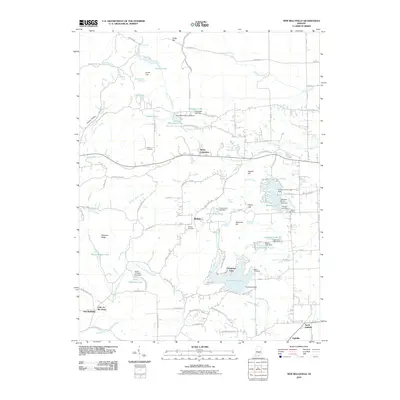
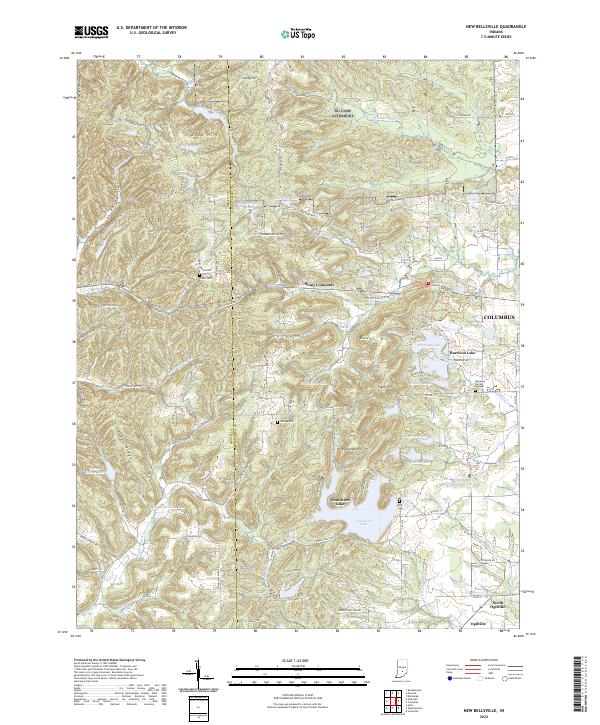
1948 New Bellsville
Bartholomew County, IN
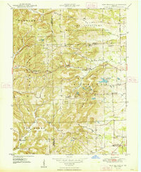
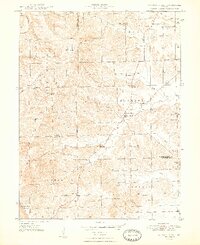
1948 Nineveh
Bartholomew County, IN
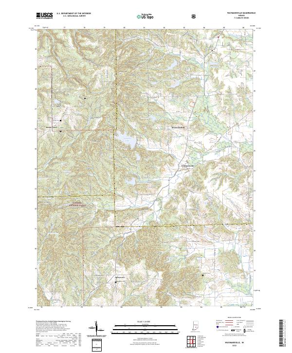
1948 Waymansville
Bartholomew County, IN
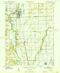
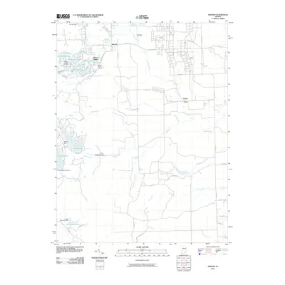
1962 New Bellsville
Bartholomew County, IN
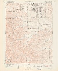
1962 Nineveh
Bartholomew County, IN
1962 Waymansville
Bartholomew County, IN
1998 Nineveh
Bartholomew County, IN
2010 New Bellsville
Bartholomew County, IN
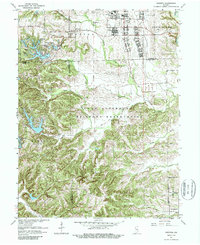
2010 Nineveh
Bartholomew County, IN
2011 Waymansville
Bartholomew County, IN
2013 New Bellsville
Bartholomew County, IN
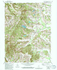
2013 Nineveh
Bartholomew County, IN
2013 Waymansville
Bartholomew County, IN
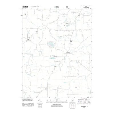
2016 New Bellsville
Bartholomew County, IN
2016 Nineveh
Bartholomew County, IN
2016 Waymansville
Bartholomew County, IN
2019 New Bellsville
Bartholomew County, IN
2019 Nineveh
Bartholomew County, IN
2019 Waymansville
Bartholomew County, IN
2022 New Bellsville
Bartholomew County, IN
2022 Nineveh
Bartholomew County, IN
2022 Waymansville
Bartholomew County, IN