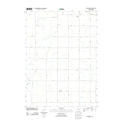
2012 Map of Niobrara NE
USGS Topo · Published 2012About this map
Friedenberg Mennonite Cem and several other denominational burying grounds anchor this Bon Homme County landscape, reflecting the heritage of the rural communities established here. The land is defined by a systematic grid of section roads, including 404th Ave and 303rd St, which cross the drainage patterns of Choteau Cr and Dry Choteau Creek. This 2012 snapshot illustrates a persistent agricultural layout, where isolated landmarks like Stone Hse Rd and Weslyan Cem suggest long-standing family and congregational ties. The concentration of varied religious sites, such as the First German Baptist Cem and Trinity Cem in the north, indicates the diverse ethnic and spiritual groups that settled this portion of South Dakota.
Find a feature on this map
27 named features on this map. Tap any name to fly to it.
Don’t see what you’re looking for? This feature index may not catch every label — zoom into the map to look around manually.
Map Details
Editions of this 2012 Niobrara NE Map
This is the sole edition of this map. No revisions or reprints were ever made.
Other maps of this area

1898 · Olivet
USGS Topo · 1:125,000

1950 · Niobrara
USGS Topo · 1:24,000

1950 · Verdel
USGS Topo · 1:24,000

1955 · Sioux City
USGS Topo · 1:250,000

1955 · Sioux Falls
USGS Topo · 1:250,000

1955 · Mitchell
USGS Topo · 1:250,000

1955 · O'Neill
USGS Topo · 1:250,000

1958 · Sioux City
USGS Topo · 1:250,000

1958 · Sioux Falls
USGS Topo · 1:250,000

1959 · O'Neill
USGS Topo · 1:250,000