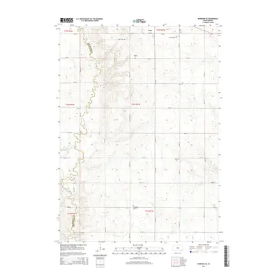
2015 Map of Niobrara NE
USGS Topo · Published 2015About this map
Avon serves as a primary settlement point on the edge of the northern plains, where the rectilinear grid of township roads meets the winding course of Choteau Cr. The landscape is defined by its agricultural layout, yet it preserves a significant record of early community life through its numerous rural burial grounds. These sites, including the First German Baptist Cem, Wesleyan Cem, and Friedenberg Mennonite Cem, reflect the diverse denominational heritage of the settlers who established farms in this region. Along the western edge, the border between Bon Homme and Charles Mix Counties follows the natural path of Dry Choteau Cr. This 2015 survey provides a clear view of the rural infrastructure, from established routes like Stone House Rd to the intricate network of numbered section roads that facilitate the local farming economy.
Find a feature on this map
28 named features on this map. Tap any name to fly to it.
Don’t see what you’re looking for? This feature index may not catch every label — zoom into the map to look around manually.
Map Details
Editions of this 2015 Niobrara NE Map
This is the sole edition of this map. No revisions or reprints were ever made.
Other maps of this area

1898 · Olivet
USGS Topo · 1:125,000

1950 · Niobrara
USGS Topo · 1:24,000

1950 · Verdel
USGS Topo · 1:24,000

1955 · Sioux City
USGS Topo · 1:250,000

1955 · Sioux Falls
USGS Topo · 1:250,000

1955 · Mitchell
USGS Topo · 1:250,000

1955 · O'Neill
USGS Topo · 1:250,000

1958 · Sioux City
USGS Topo · 1:250,000

1958 · Sioux Falls
USGS Topo · 1:250,000

1959 · O'Neill
USGS Topo · 1:250,000